.avif)
Find & Read
No items found.



.svg)
Bio
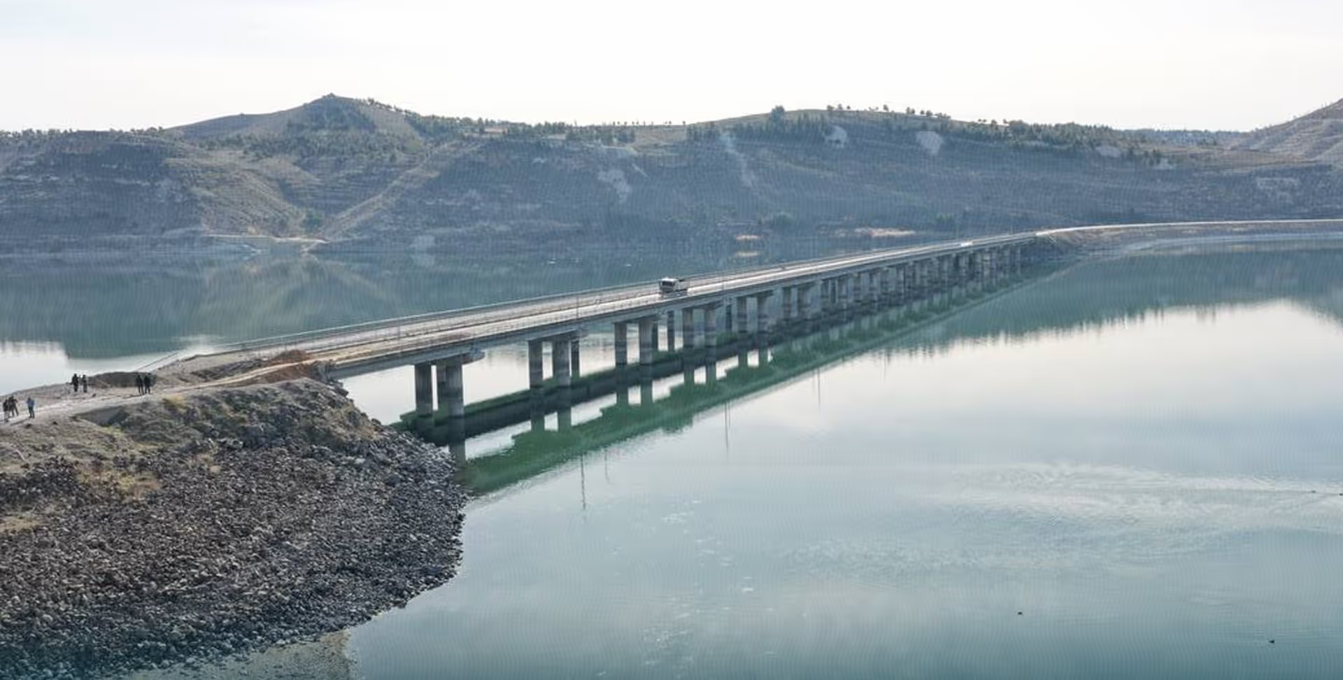
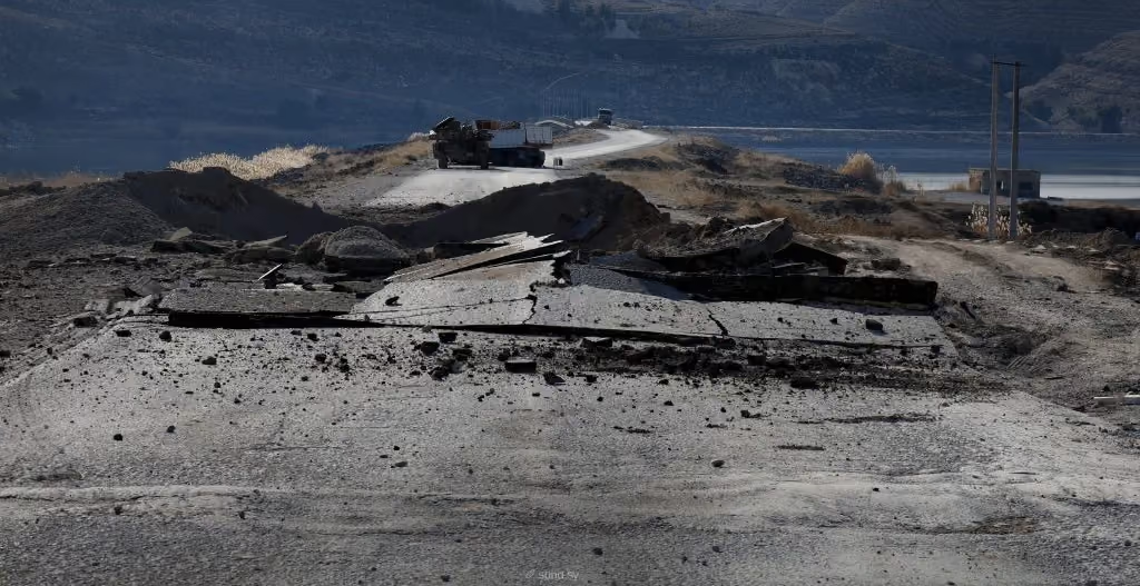
The Qarah Qozak Bridge carries the road between Manbij and Ayn al-Arab across the Euphrates, in the eastern countryside of Aleppo Governorate. It is one of the few fixed crossings on this reach of the river, and it is the point at which the road network west of the Euphrates joins the network to the east. Traffic over it is commercial as much as local: OCHA, in its Humanitarian Situation Report No. 3 of 10 March 2025, treated the crossing as the hinge on which trade, supply chains and mobility between Manbij and the areas east of the Euphrates depend.
What distinguishes the corridor is that a single structure carries the economic weight of two hinterlands at once. To the west lie the agricultural plains of the Manbij countryside; to the east, the Euphrates valley and the road on towards Ayn al-Arab. The Tishreen Dam stands on the same stretch of river, and OCHA records it as the source of the electricity and pumped water on which the households of Manbij and Ayn al-Arab rely — so the crossing and the dam together define how goods, power and water reach the towns at either end of the road.
Damages
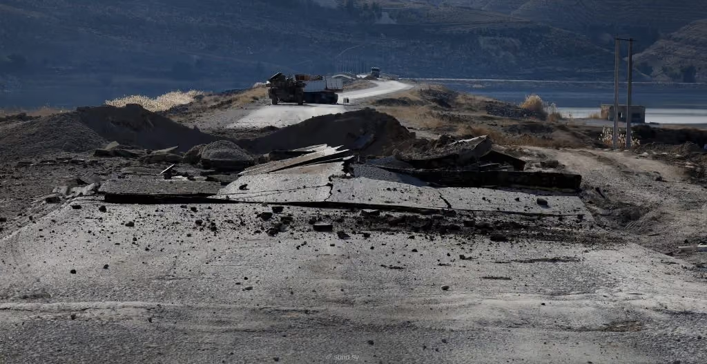
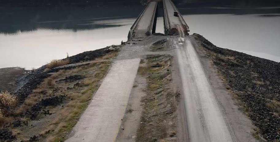
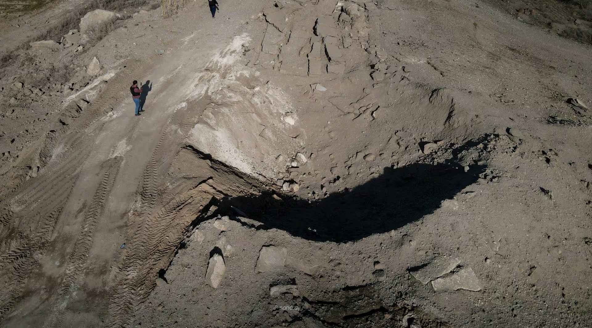
The clearest institutional record of the corridor's condition concerns access rather than the structure itself. OCHA, in its Humanitarian Situation Report No. 3 of 10 March 2025, reported that access between Manbij and areas east of the Euphrates was blocked at the Qaraqozak Bridge, and that trade, supply chains and mobility in north-east Syria were disrupted as a result.
The service consequences at either end of the road are documented in figures. OCHA's Flash Update No. 12 of 22 January 2025 recorded the Tishreen Dam as having been non-functional for six weeks, depriving 413,000 people in Manbij and Ayn al-Arab of water and electricity; its Humanitarian Situation Report No. 3 of 10 March 2025 recorded that, since December, over 413,000 residents of the two towns had been without electricity and pumped water, and that immediate repairs were needed to restore services.
For the town at the western end of the road, an earlier institutional assessment exists. UNITAR-UNOSAT's damage assessment of Manbij of 19 September 2016, using satellite imagery of 30 August and 7 September 2016 against a 2010 reference image, identified 1,230 potentially damaged structures in the town — approximately 289 destroyed, 563 severely damaged and 375 moderately damaged — together with three damaged bridges. UNOSAT describes the analysis as preliminary and not validated in the field, and its scope is the town of Manbij, not the crossing itself.
.svg)
.png)