.avif)
Find & Read
No items found.


.svg)
Bio
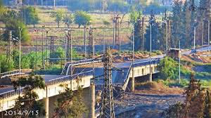
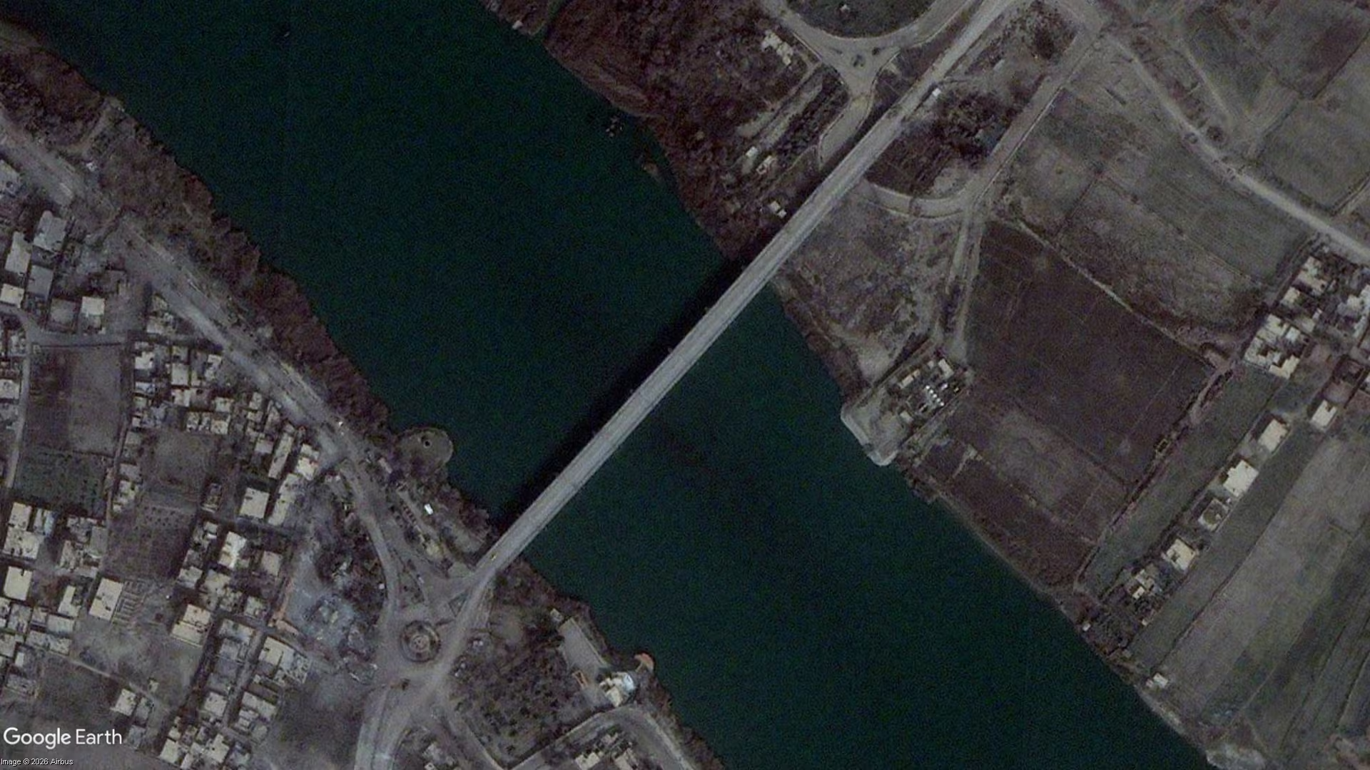
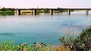
Al-Siyasiyah Bridge is one of the road crossings of the Euphrates at Deir ez-Zor, the largest city in eastern Syria, carrying traffic between the city and the farmland and settlements on the opposite bank. Crossings of this kind set the economic geography of the area: in its Deir-ez-Zor Governorate Profile of June 2026, OCHA describes Deir-ez-Zor as Syria's second-largest governorate by area and a strategic corridor linking north-eastern Syria with Iraq and regional trade routes, with the Euphrates remaining a critical source of water for domestic use, agriculture and livestock production.
What distinguishes the site is that it is a piece of transport infrastructure rather than a neighbourhood: its value is measured in the movement it permits. A bridge here shortens the journey between the two banks for farmers bringing produce to market, for freight moving along the eastern corridor, and for households reaching services concentrated in the city centre. That is why the condition of the Euphrates crossings appears in institutional assessments of Deir ez-Zor alongside housing, schools and health facilities.
Damages
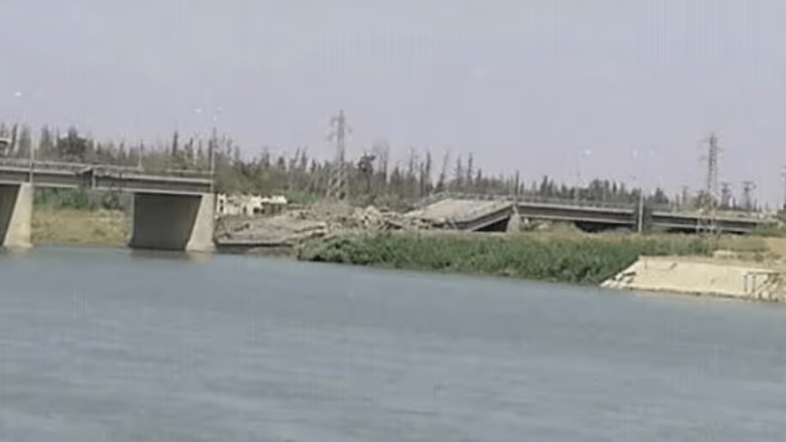
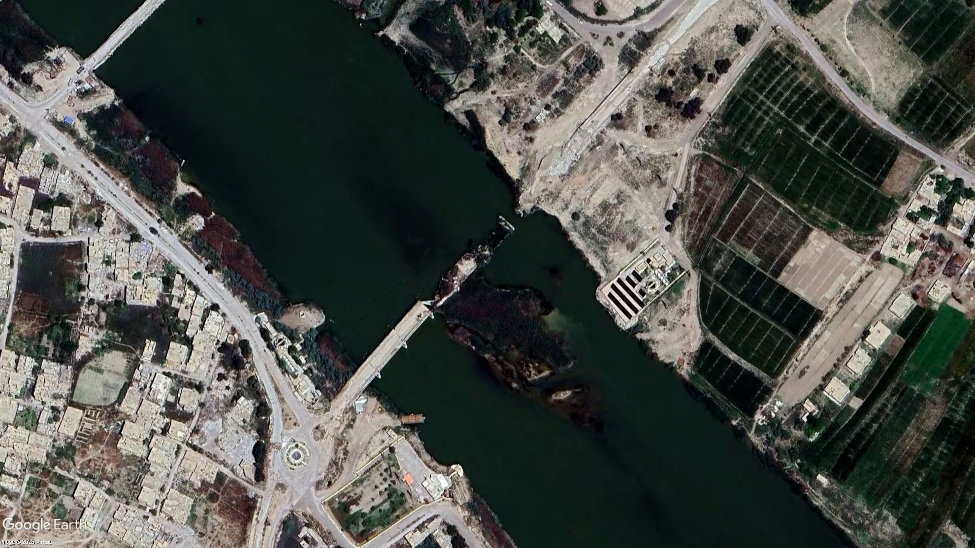
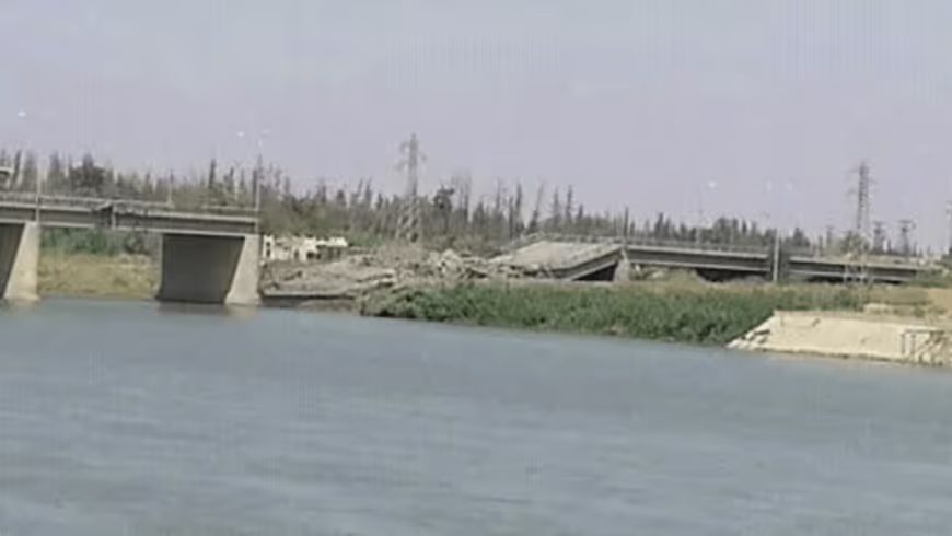
The most detailed public measurement of the city's condition comes from UNOSAT. Using satellite imagery acquired on 25 May 2016, UNITAR-UNOSAT identified a total of 4,673 affected structures within the city of Deir ez-Zor, of which approximately 802 were destroyed, 1,410 severely damaged and 2,461 moderately damaged. The map was published in January 2017 and is described by UNOSAT as a preliminary analysis that had not been validated in the field.
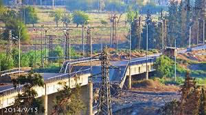
A companion UNOSAT product covering infrastructure and roads, derived from imagery acquired on 9 November 2017, identified 6 destroyed bridges, 54 damaged road segments and 93 visible impact craters affecting roads in a portion of the city, alongside approximately 169 structures corresponding to educational facilities and 21 structures likely related to health facilities. UNHCR, reporting in 2022, put an estimated 75 per cent of the city's infrastructure as damaged or destroyed.
Documented recovery has so far been recorded at the level of households and services rather than of the crossings themselves. UNHCR reported in 2022 that it had repaired the homes of 105 returnee families in Deir ez-Zor, fixing walls and roofs, fitting new doors and windows and installing water and sanitation equipment. OCHA's June 2026 profile records increasing return movements to the governorate since late 2024 and places infrastructure rehabilitation among the leading humanitarian and recovery needs.
.svg)
.png)