
.avif)
Find & Read
No items found.


.svg)
Bio
Raqqa sits on the northern bank of the Euphrates in eastern Syria and is the capital of Ar-Raqqa Governorate, the administrative, commercial and agricultural centre of the middle Euphrates basin. Its economy rests on irrigated farming — above all cotton and wheat — on the canal networks drawn from the river, and on the markets and transport links that carry the governorate's produce onward. REACH and UNOSAT estimated the city's population at around 300,000 in late 2016, and recorded later estimates, after successive waves of return, ranging between 150,000 and 330,000 people spread across 23 neighbourhoods (2021).
The city's historic core is Abbasid Rafiqa, whose circuit wall, Baghdad Gate and Qasr al-Banat, together with the Old Mosque and the nearby site of Heraqla, give Raqqa a heritage weight to match its economic one. Around that core lies a working landscape of irrigation canals, Euphrates crossings and a central market that ties the surrounding farmland to the city — the same fabric of housing, schools, water systems and roads that any reconstruction programme has to address.
Damages
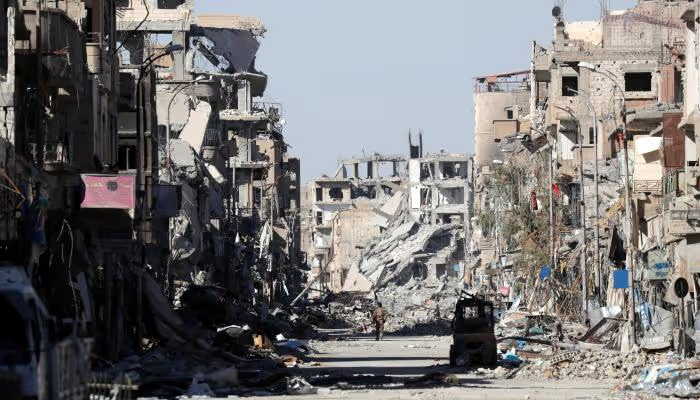
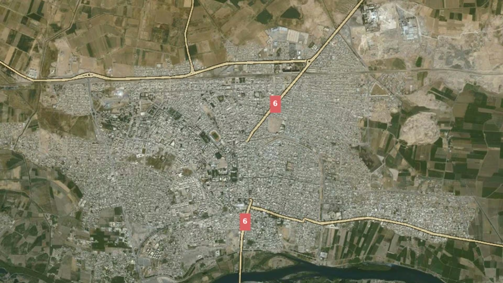
Raqqa is among the most thoroughly documented urban damage files in Syria, assessed from satellite imagery by REACH in partnership with UNOSAT. That assessment recorded 1,667 satellite-detected damaged or destroyed structures in February 2017, with the total number of affected structures detected reaching 12,707 by October 2017 (REACH and UNOSAT, 2021). The October 2017 baseline broke down into 3,222 buildings identified as destroyed, 3,922 as severely damaged and 5,563 as moderately damaged (REACH, 2021, as reported by the World Bank, 2025).
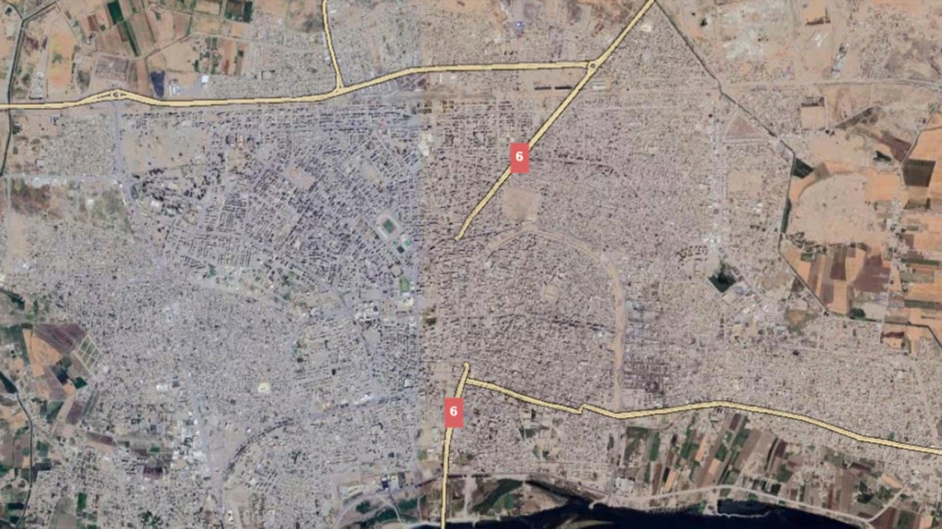
The re-assessment published in April 2021 found 4,362 structures — 32 per cent of those detected — still damaged or destroyed, alongside 1,948 structures (15 per cent) demolished or cleared. Within the damaged or destroyed group, 1,161 were destroyed (27 per cent), 1,440 severely damaged (33 per cent) and 1,752 moderately damaged (40 per cent), and around half the population was estimated to be living in damaged or inadequate shelter (REACH and UNOSAT, 2021). At governorate level, the World Bank (2025) estimated damage across 2011–2024 at 21.0 per cent of exposed residential value, 22.0 per cent non-residential and 40.3 per cent of infrastructure, giving an overall rate of 29.1 per cent against a national average of 30.1 per cent.
Recovery in Raqqa is itself measured rather than assumed. The same 2021 assessment recorded 7,104 structures — 53 per cent of those detected — rebuilt or rehabilitated between 2017 and 2021, which the report described as significant reconstruction and rehabilitation of housing stock and key infrastructure. Later monitoring cited by the World Bank (2025) records 5,082 buildings reconstructed, 3,109 repaired and 140 showing a reduction in damage as of 24 July 2023, and REACH published a follow-up rehabilitation map for the city in February 2024.
.svg)

.png)


