
.avif)
Find & Read
No items found.



.svg)
Bio
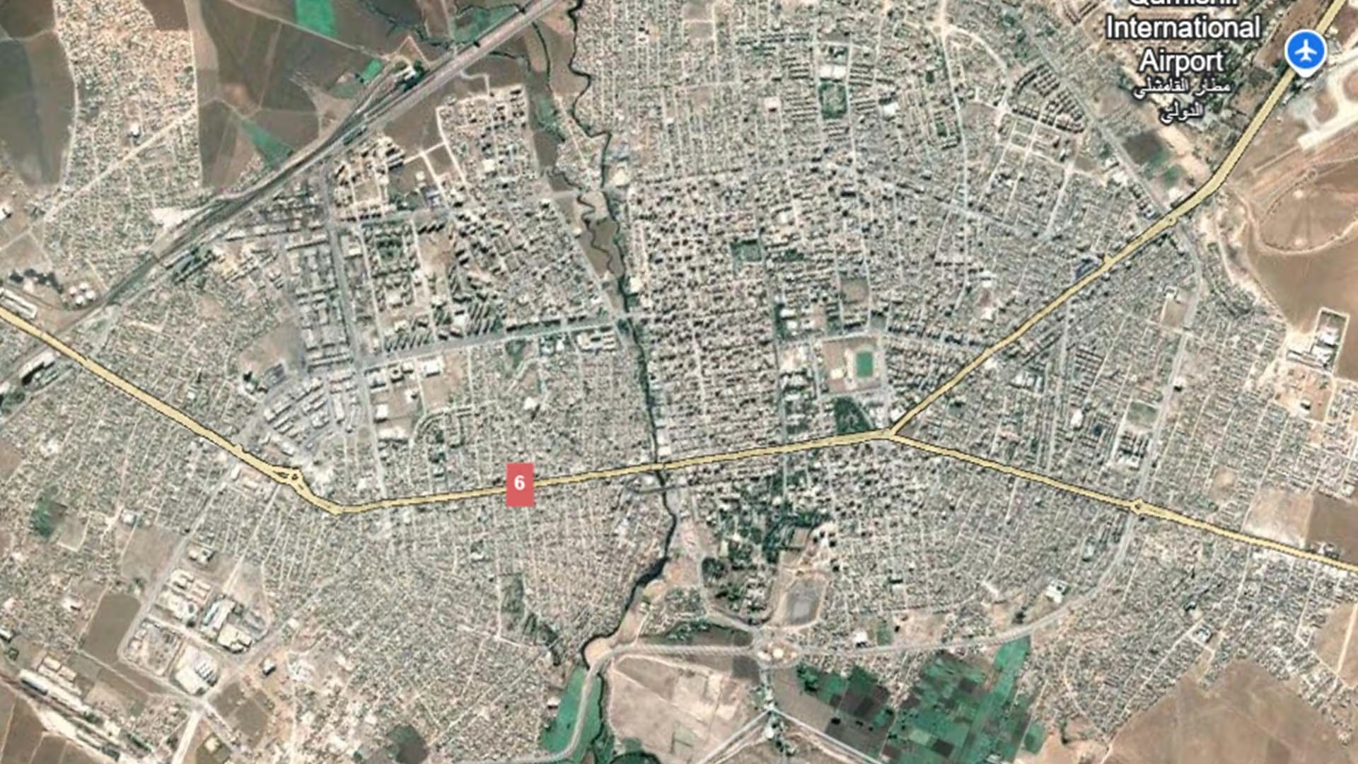
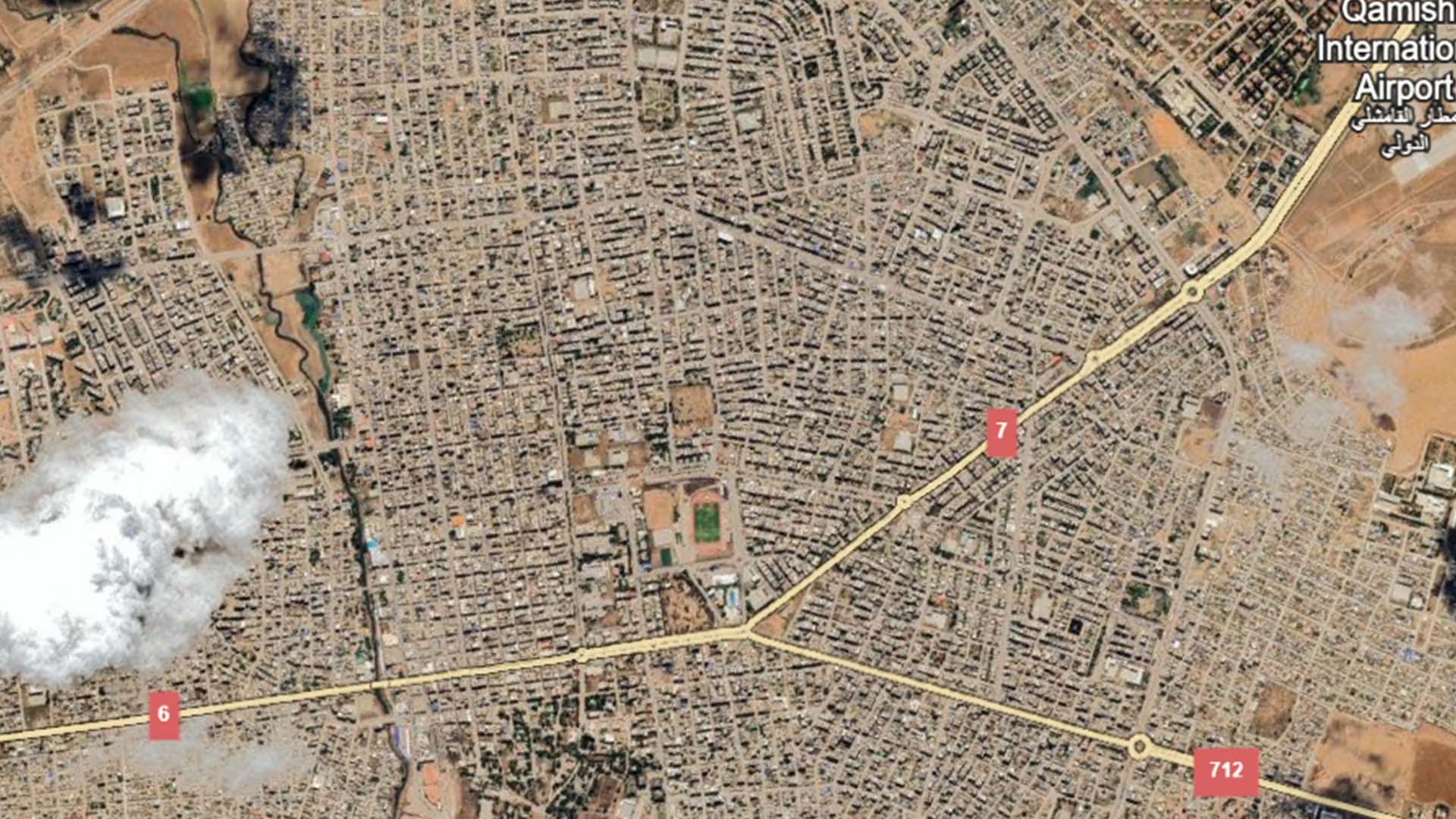
Qamishli lies in the far north-east of Syria, in Al-Hasakah Governorate, on the border with Türkiye directly opposite the town of Nusaybin, with the Jaghjagh river running through it. With a population of 184,231 recorded in the 2004 national census, it is the second-largest city in Al-Hasakah Governorate after Al-Hasakah itself and the ninth most populous in Syria, and it serves as the commercial and service centre for the surrounding Jazira plain.
The city's character is shaped by its position at the meeting point of a broad agricultural hinterland and a national border, which has long made it a market town and a transit point for goods and people. Qamishli International Airport, on the city's southern edge, is the region's air gateway, and the wider district is closely tied to the cereal-growing and livestock economy of the surrounding countryside.
Damages
No dedicated satellite-based damage assessment for Qamishli city has been published by UNOSAT or UN-Habitat, and no verified building- or structure-level damage figure for the city can therefore be stated here. Rather than reproduce an unsourced estimate, this entry records only what institutional documentation supports.
What is documented at city level is an assessment of essential services. REACH published an Urban Area Humanitarian Profile for Qamishli in August 2014, based on data its enumerators collected in the city between 22 and 30 July 2014, covering needs and gaps in food, health and water.
On the recovery side, the Syrian General Authority for Civil Aviation announced in 2026 the start of rehabilitation works at Qamishli International Airport aimed at raising its technical and operational readiness so that it can return to service — a step that would reconnect the city to the national air network and shorten travel and freight routes for businesses in the north-east.
.svg)

.png)


