
.avif)
Find & Read
No items found.



.svg)
Bio
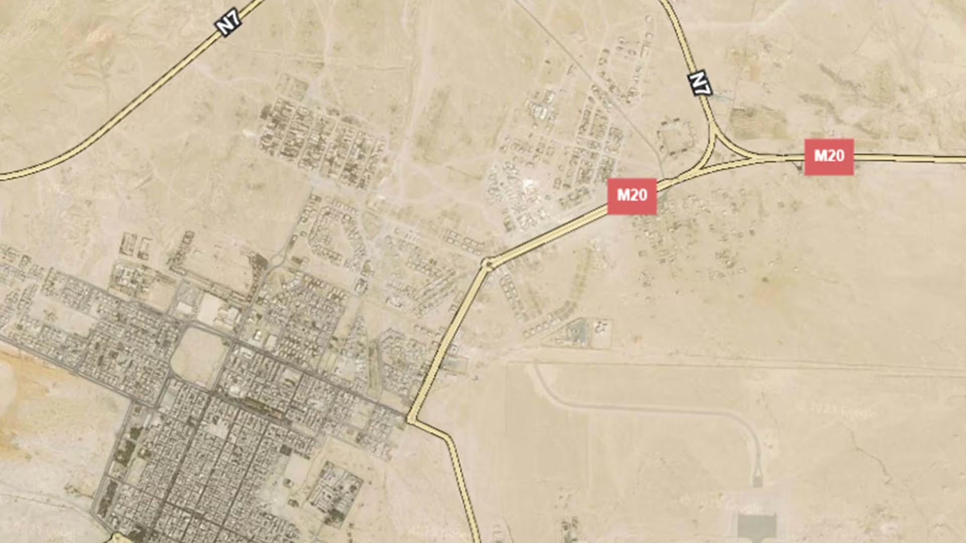
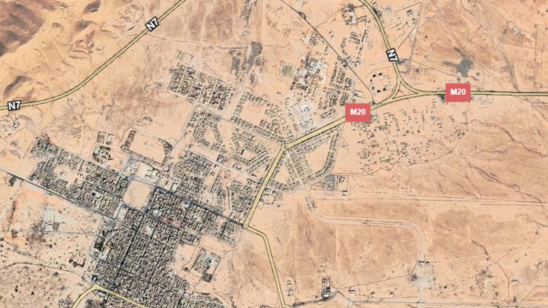
Palmyra — Tadmur in Arabic — is an oasis town in the Syrian steppe, in the eastern part of Homs Governorate, at a point where the caravan routes of antiquity crossed the desert between the Euphrates and the Mediterranean coast. The modern town lies immediately beside the archaeological site, and its economy has long rested on the oasis, on the roads that cross the badiya, and on the visitors drawn to the ruins.
What sets Palmyra apart is recorded in its World Heritage designation: the art and architecture of the site, from the first to the second century AD, married Graeco-Roman techniques with local traditions and Persian influences, and the property was inscribed on UNESCO's World Heritage List in 1980 (UNITAR-UNOSAT with UNESCO, 2016). Its landmarks include the Temple of Bel and the Temple of Baalshamin, the Great Colonnade running more than one kilometre, the Arch of Triumph built between 193 and 211 AD where the colonnade meets the Temple of Bel, together with the Palmyra Museum and the Mamluk citadel on the hill above the town.
Damages
In its assessment of ten Syrian cities as of early 2017, the World Bank recorded the highest share of partially damaged housing in Tadmur (Palmyra), at 32.8 per cent of the housing stock. Across the ten cities taken together, the same study found that 27 per cent of the housing stock had been affected: 7 per cent destroyed and 20 per cent partially damaged (World Bank, The Toll of War, 2017).
The archaeological site was added to the List of World Heritage in Danger in 2013. Satellite imagery analysis by UNITAR-UNOSAT, published with UNESCO in 2016, documented the loss of three of the site's greatest monuments between 23 August and 5 October 2015: the Temple of Baalshamin, the Temple of Bel — where the temple itself was classed as destroyed, the portico as severely damaged and the surrounding structures within the temple walls as possibly damaged — and the Arch of Triumph. A UNESCO rapid assessment mission that visited the site from 24 to 26 April 2016 nevertheless concluded that the archaeological site retains a large part of its integrity and authenticity, while recording considerable damage to the museum and serious damage to the Mamluk citadel (UN News, April 2016).
Recovery planning is under way. UNESCO's 2025 state of conservation report describes activities carried out between September 2024 and March 2025 in preparation for a recovery master plan for the property, with the Directorate-General of Antiquities and Museums identifying necessary emergency structural interventions at the site, continuing damage assessment and conducting 3D documentation of the tombs. A post-conflict rehabilitation and reconstruction Action Plan has been developed, including proposals for improving tourism facilities, and two online meetings discussed restoration techniques for the Triumphal Arch, with geo-radar and acoustic surveys proposed to analyse the internal structure of the arch. In March 2025 the World Heritage Centre received an invitation for a Reactive Monitoring mission to assess the state of conservation of the property and progress towards recovery objectives (UNESCO, 2025).
.svg)

.png)


