
.avif)
Find & Read
No items found.



.svg)
Bio
Al-Hasakah is the capital of Al-Hasakah Governorate in Syria's far north-east, set on the Khabur river and its tributary the Jaghjagh. It is the administrative, commercial and service centre of the Jazira region, and the point through which much of the surrounding countryside reaches specialised health care, markets and public administration.
The city anchors one of the country's principal agricultural hinterlands. Two irrigation reservoirs serve it — the Al Hasakah East Dam and the Al Hasakah West Dam — both recorded as undamaged and functioning in the World Bank's 2022 joint damage assessment of selected Syrian cities. That same assessment found the city's health and education estate largely intact, which sets Al-Hasakah apart from most of the fourteen cities it covered.
Damages
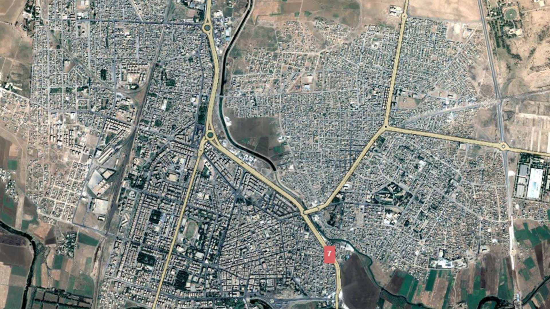
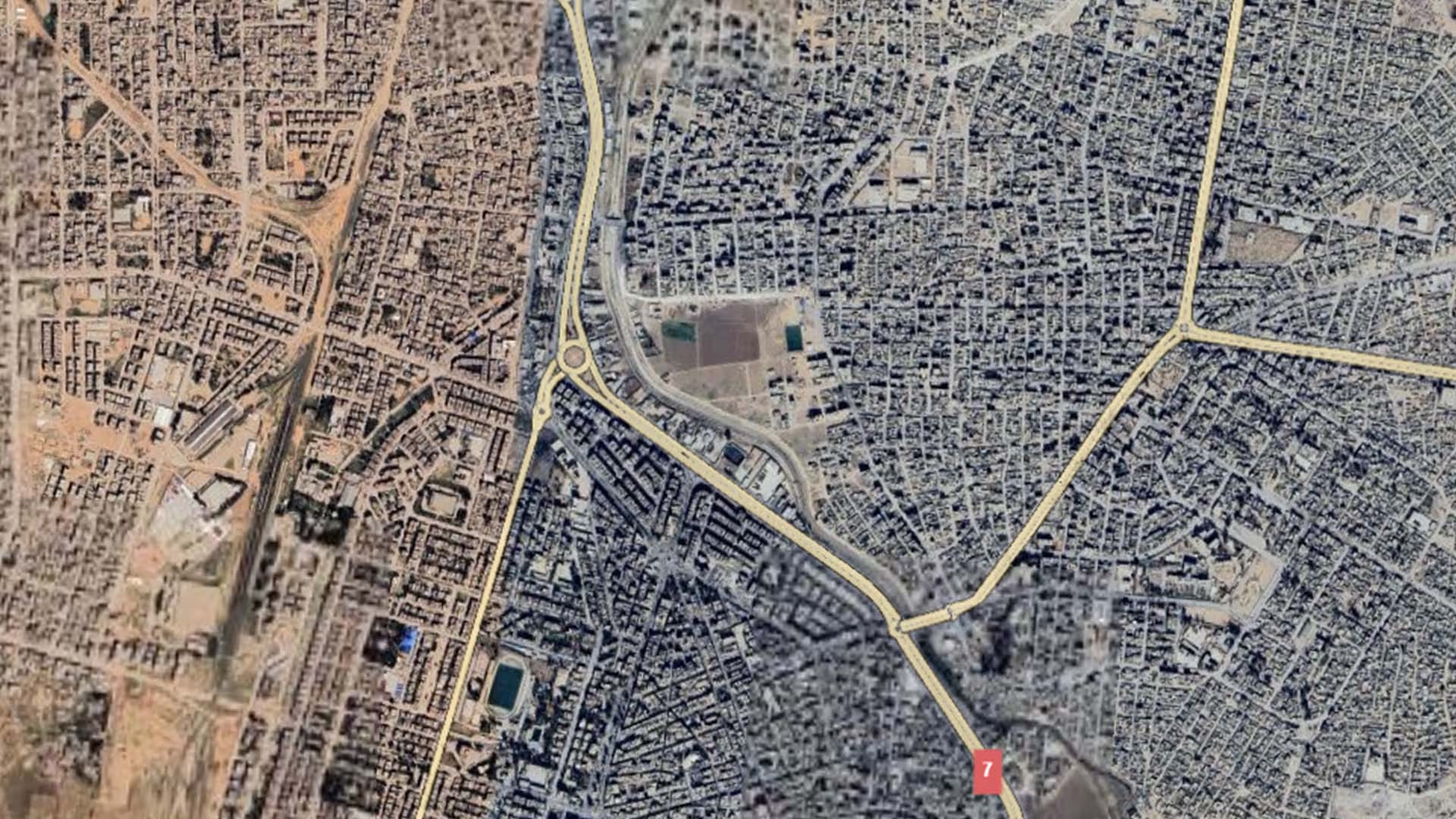
The World Bank's 2022 joint damage assessment put damage to Al-Hasakah's housing sector at US$27–33 million, and total damage across all assessed sectors in the city at US$30.4–41.4 million. Some 3 per cent of the city's road network was damaged, of which 33 per cent needs major repair and 67 per cent maintenance. Of 71 education facilities assessed, only two were partially damaged or destroyed, with 65 per cent functioning and 8 per cent not functioning; all 15 health facilities assessed were undamaged and twelve of them were operating. Rubble in the city was estimated at 114,949 cubic metres under the medium scenario, within a range of 64,092 to 216,406 cubic metres.
Recent needs data are governorate-wide rather than city-specific. REACH's Al-Hasakeh governorate profile of August 2026, based on a survey of 1,251 households across 152 communities and 15 sub-districts between 10 May and 3 June 2026, found 60 per cent of households reporting some form of shelter damage — the highest share in north-east Syria, though most of it minor, and much of it associated with heavy rains and flooding along the Jaghjagh and Khabur rivers in March 2026. Household water insecurity stood at 34 per cent, the highest in the region, with more than half of households water insecure in Al-Hasakah city itself; 41 per cent of households relied on water trucking as their main drinking-water source, with water prices up around 40 per cent since February. School enrolment edged down from 68 to 66 per cent. Residents made up 63 per cent of households and one in four households were internally displaced, with displaced households most concentrated in Al-Hasakah city at 45 per cent.
The same survey records measured improvement: the share of households reporting that children attended school in acceptable conditions rose from 12 to 36 per cent between October 2025 and May 2026. REACH also notes that the anticipated reopening of the Alouk water station is expected to restore piped supply to some of the worst-affected areas — an expectation at the time of reporting, not a completed work.
.svg)

.png)


