
.avif)
Find & Read
No items found.




.svg)
Bio
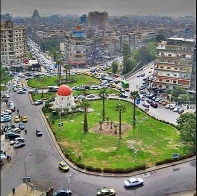
Dar'a city is the capital of Dar'a Governorate and the principal urban centre of southern Syria, sitting on the main national route towards the Jordanian border. UN-Habitat, in its city profile of June 2014, put the pre-crisis population of the city at approximately 117,000 and the population of the surrounding governorate at 1,042,500, and noted that the city's weight came less from its size than from the administrative and economic role it played across the south. OCHA's governorate profile of June 2026 records that Dar'a Governorate covers 3,837 km², is divided into three districts and seventeen sub-districts, and that before 2011 it was a major agricultural hub known for cereals, olives and vegetables, supported by irrigation systems and cross-border trade.
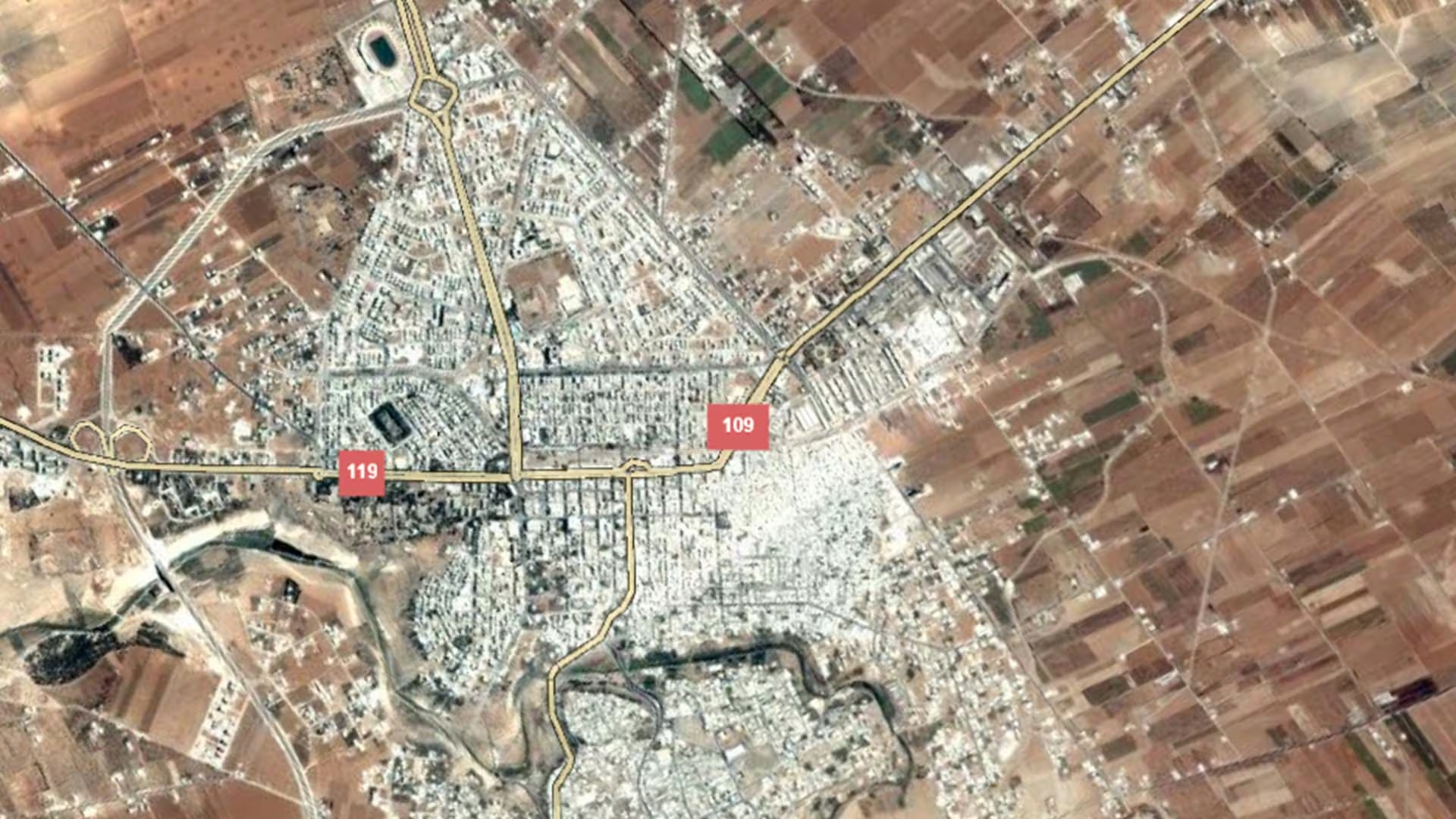
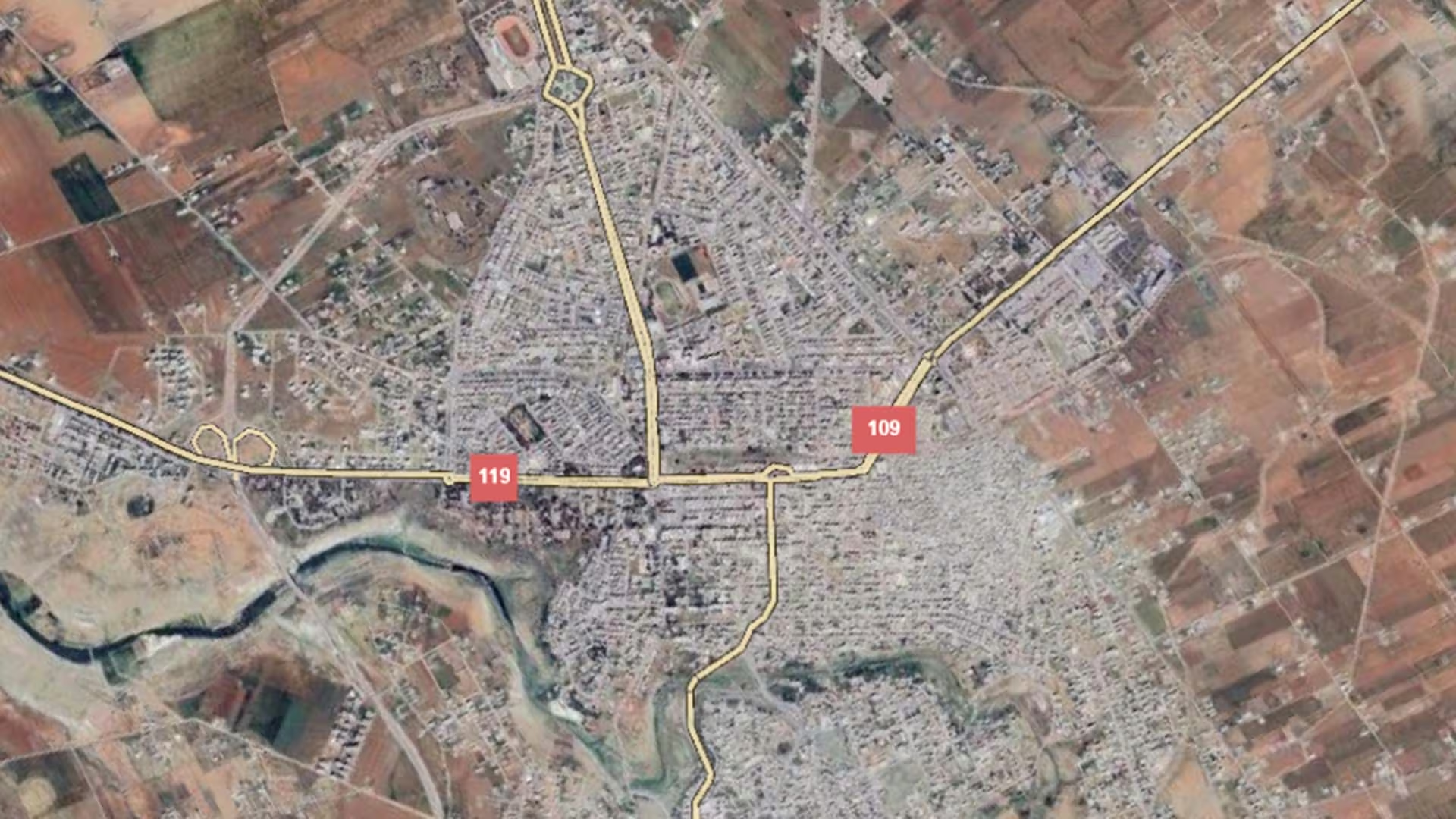
The city is made up of two distinct halves that differ in fabric and in need: Dar'a al-Balad, the older southern part that contains the old city and the Dar'a camp, and Dar'a al-Mahatta, the newer district to the north. UN-Habitat recorded in June 2014 that 76.3 per cent of the city's then-estimated 105,000 residents were living in the Al Mahatta area, an early sign of the shift in the city's centre of gravity from the older southern quarters towards the north — a pattern the World Bank also described in 2022.
Damages
The earliest city-level measurement comes from UN-Habitat's profile of June 2014, which recorded 5,039 housing units no longer habitable — nearly 21 per cent of the city's housing stock — and found that seven of the city's twenty neighbourhoods, all in the Al Balad area, were non-functional. The same profile reported that daily electricity supply did not exceed two hours in Al Balad and six hours in Al Mahatta.
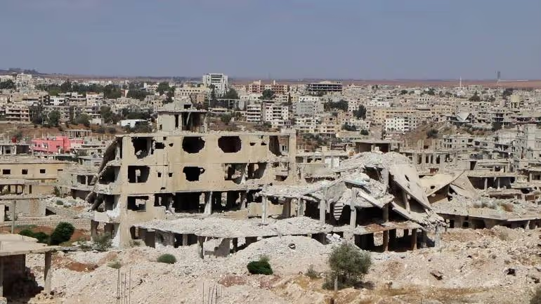
A satellite assessment by UNITAR-UNOSAT, based on imagery of 7 February 2017 and published through the Humanitarian Data Exchange, identified 1,503 affected structures within the city: approximately 224 destroyed, 498 severely damaged and 781 moderately damaged. UNOSAT describes the analysis as preliminary and not validated in the field, and notes that it excludes pre-war military bases and facilities. The World Bank's Joint Damage Assessment of Selected Cities (December 2022) gives the fullest housing picture: against an estimated baseline of 31,000 housing units, up to 11,000 units have been damaged, representing 36 per cent of the city's housing stock, with damage costs estimated at US$112–137 million. The report states that the southern area of Al Balad received most of the damage in the city, including the old city and the Dar'a camp, and that damage is much worse in informal housing areas. Its rubble estimate for Dar'a is 1,387,250 m³ under the medium scenario, within a range of 1,154,828 to 1,724,591 m³.
No reconstruction or rehabilitation project carried out under the name of Dar'a city was found in the institutional sources consulted. What is documented is the state of municipal capacity and of governorate-level needs. The World Bank's 2022 assessment, drawing on UrbAN-S city profiles, records that Dar'a's solid-waste service held 12 refuse collection vehicles and 119 collection workers before the conflict, against 4 vehicles and 58 workers in 2019. At governorate level, OCHA reported in June 2026 that 0.87 million people in Dar'a were assessed as being in need out of 15.6 million across Syria, that 38 organisations reported activity in the governorate between January and April 2026, and that returns of internally displaced people and refugees since December 2024 have added pressure on services, housing and local systems, with electricity shortages continuing to affect water supply and health facilities.
.svg)

.png)


