
.avif)
Find & Read
No items found.





.svg)
Bio
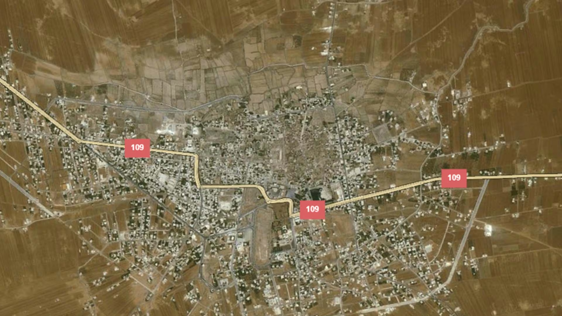
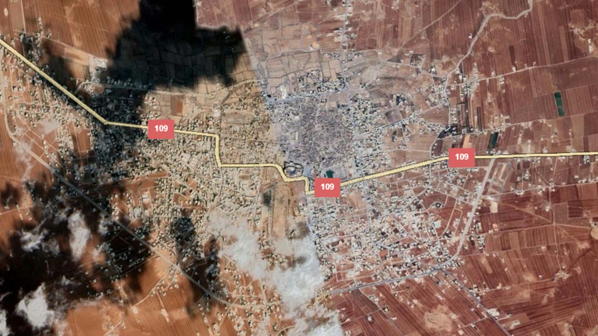
Bosra al-Sham is an inhabited ancient city in southern Syria, in Dar'a governorate — a governorate that OCHA, in its Dar'a Governorate Profile of June 2026, describes as historically a major agricultural hub that continues to rely heavily on agriculture and related livelihoods. The town itself has been occupied since the fourteenth century BC, according to the UNITAR-UNOSAT satellite-based damage assessment of Syrian heritage sites (2014), which records Bosra as the northern capital of the Nabataean Kingdom, the capital of the Roman province of Arabia, an important station on the Islamic pilgrimage route to Mecca and an important trading post. No population figure for the town from an institutional source could be verified for this page.
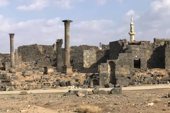
What distinguishes Bosra is the density of remains layered inside a single walled town, which UNITAR-UNOSAT (2014) describes as having stood inhabited and almost intact for some 2,500 years, with Nabataean, Roman, Byzantine and Umayyad traces side by side. The same report records the site's inscription on the World Heritage List in 1980 and lists its principal features: the second-century Roman theatre enclosed within the citadel, the al-Omari mosque — among the oldest surviving Islamic mosques — the cathedral of Saints Sergius, Bacchus and Leontius, the Roman central bath complex, the nymphaeum, the amphitheatre and the Roman residence. Part of the historic housing quarter inside the site is still lived in today.
Damages
The only institutional measurement of damage at the site is the UNITAR-UNOSAT satellite-based assessment published in 2014, drawing on imagery of October 2010 and of April and August 2014. It reviewed 30 notable historical structures and features: one structure destroyed, four with moderate damage and three with possible damage. The nymphaeum, a second-century AD building, is the structure recorded as destroyed; moderate damage is recorded at the amphitheatre, the central bath complex, the al-Omari mosque, the Roman residence and the cathedral of Saint Sergius, and possible damage at the citadel and theatre.
The heavier concentration is residential rather than monumental. UNITAR-UNOSAT (2014) records more than 50 structures showing holes in their roofs, or roofs partly or entirely collapsed, in the area of the historic residences — some of which remain occupied. The site had been added to the List of World Heritage in Danger in 2013, as the same report notes.
These counts should be read as a floor, not a total. UNITAR-UNOSAT states that most of the reviewed structures show little damage in the imagery, indicating that a majority of the damage may lie within the structures themselves and therefore escape satellite detection. The assessment is also more than a decade old: no newer institutional measurement of the site's condition, and no documented restoration or recovery activity, could be verified from an accessible source for this page.
.svg)

.png)


