.avif)
Find & Read
No items found.

.svg)
Bio
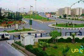
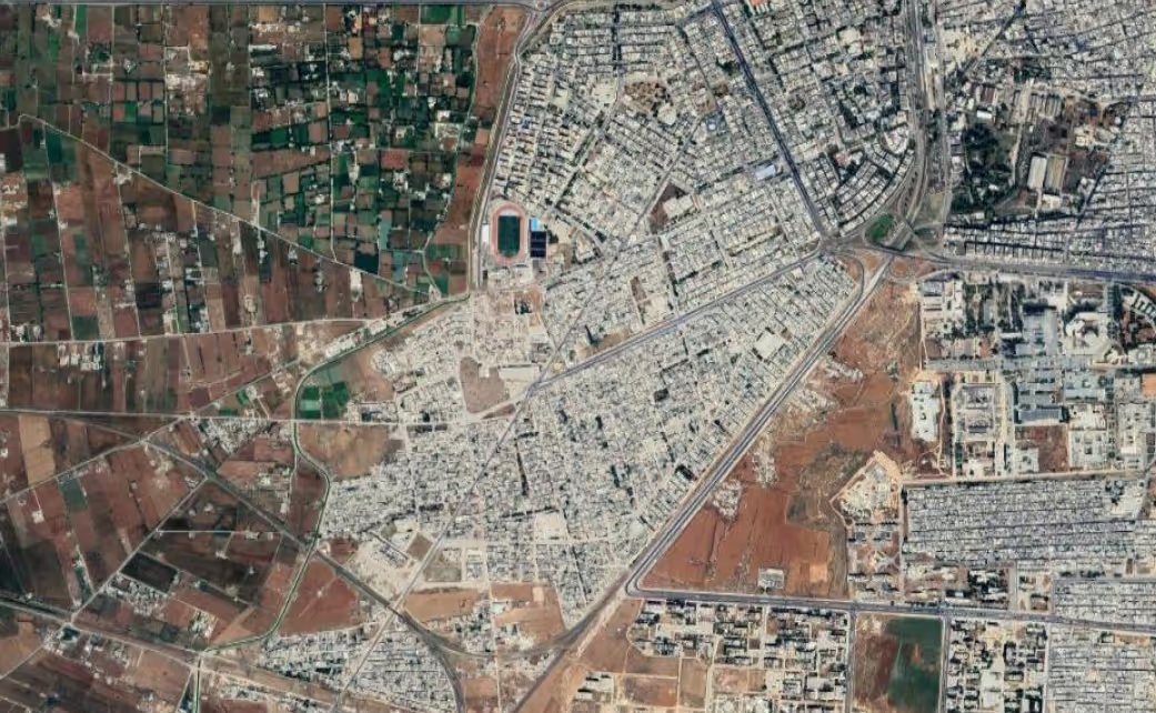
Baba Amr is one of the largest neighbourhoods of Homs in both area and population: 280 hectares and some 55,000 inhabitants on 2010 estimates, according to the UN-Habitat neighbourhood profile (2015). It began as a village west of the city, overlooking the Orontes river and its valley, was absorbed by the growth of Homs and expanded until it merged with the city's western side. Its property situation was formally settled in 2008, following a city council resolution in 2005, and the local authorities used the available open space to provide the neighbourhood with schools, clinics, a wholesale market that was never finished, and asphalt on its secondary streets.
Its defining feature is the market that dominates the main street crosscutting the neighbourhood. That market opened a supply route between the city and the agricultural plains extending along the Orontes basin — nearly 18,000 hectares, on the same UN-Habitat profile (2015) — and later broadened to take in workshops and light industry, making Baba Amr a trading destination for residents of the western side of Homs. Building and construction accounted for 31 per cent of the neighbourhood's labour force, the largest productive labour group in it, on Syrian Central Bureau of Statistics figures for 2010 cited by UN-Habitat (2015). The neighbourhood is made up of the sub-quarters of the Old Town, Al Hakoura, Al Tawzee Al Ijbari, Al Jouri Mosque, Joret Al Arayes, Al Tahoon and Al Mjad'dara.
Damages
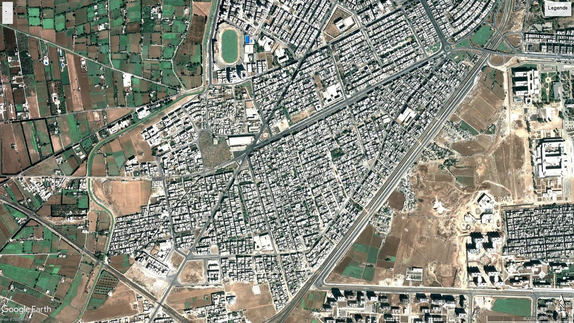
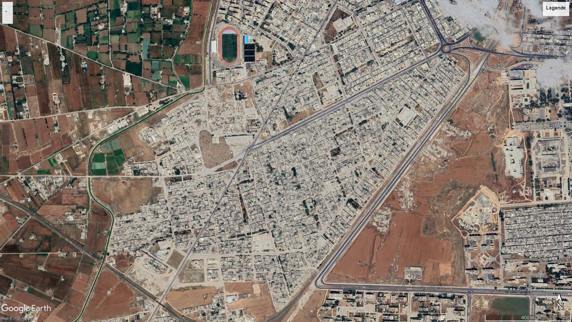
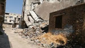
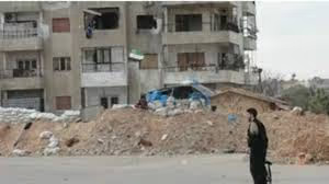
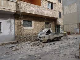
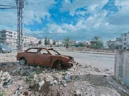
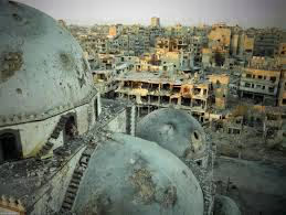
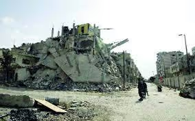
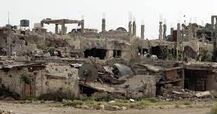
The satellite-imagery assessment carried out by UNOSAT on WorldView imagery acquired in September 2013, reported in the UN-Habitat city profile for Homs (draft, 2014), concluded that 6,876 buildings were heavily damaged — destroyed or severely damaged — across the city, and lists Baba Amr among the severely damaged or destroyed neighbourhoods of Homs. No building count for the neighbourhood on its own has been published. The same profile records that the damaged housing units were concentrated in the informal areas, Baba Amr among them, and that the factories and industrial workshops of the neighbourhood sustained heavy damage.
At the level of housing stock, UN-Habitat (2015) records that Baba Amr used to have nearly 14,000 shelter units, and that nearly 10,000 of them could feasibly be rehabilitated rather than replaced. The same profile puts the number of the neighbourhood's displaced residents then living inside Homs itself at 25,000, of whom 10,000 were in the two adjoining neighbourhoods of Karm Al Shami and Al Fardous.
On recovery, consultations with key informants led by UN-Habitat in June 2015 produced a phased framework dividing the neighbourhood into five working areas by level of damage and return horizon: Al Jouri Mosque quarter, recorded as light damage and set for immediate or short-term return with rehabilitation of services and shelters and a potential return volume of 1,500; the southern and eastern sub-quarters, medium damage, medium-term return through participatory rehabilitation of shelters and services alongside substantial infrastructure investment, with a potential return volume of 12,500; the market corridor and the agricultural plain, medium damage, where the framework calls for rehabilitating the market and the workshops and restoring agricultural productivity and for addressing land contamination resulting from an oil pipeline explosion incident, with a potential return volume of 3,500 farmers of the Orontes valley; and the Old Town, severe damage, set for long-term reconstruction with preservation of the surviving heritage remains. This is a planning framework drawn up in 2015, not a record of works carried out, and no institutional assessment specific to the neighbourhood has been published since.
.svg)

.png)