.avif)
Find & Read
No items found.



.svg)
Bio
Al-Qusayr sits in the Orontes River basin in the south-west of Homs governorate, a short distance from the Lebanese border, and is the administrative centre of both its district and its sub-district. The UrbAN-S city profile of October 2019 describes a city well supplied with water and ringed by fertile farmland, laid out across eleven neighbourhoods, with an estimated total population of 33,313 before the conflict.
Its economy rested on public service and on the land around it. The same profile records Al-Qusayr as a major hub for the production and trade of agricultural, livestock and dairy products, in a basin that before the conflict accounted for around 25 per cent of Syria's total agricultural production. Apricots, olives, apples, wheat, barley and tobacco were the characteristic crops, and the city was reported to have produced 20,000 tonnes of apples in 2011 alone. UrbAN-S counts nearly 15,000 people employed within the city and a further 10,000 in its rural surroundings, with 30 to 40 per cent of employment in the public sector, and lists the Ein Tanour water plant, the Sareco wastewater treatment plant and the General Fertilizer Company's superphosphate plant among the regional facilities that drew on local labour.
Damages
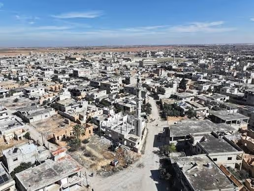
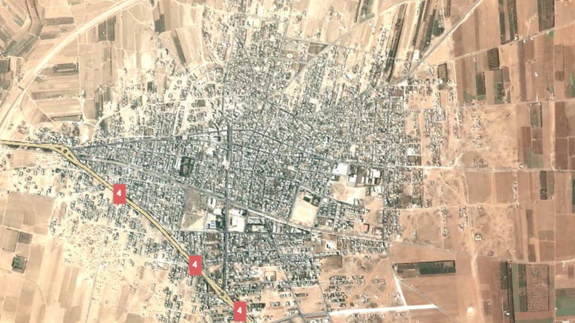
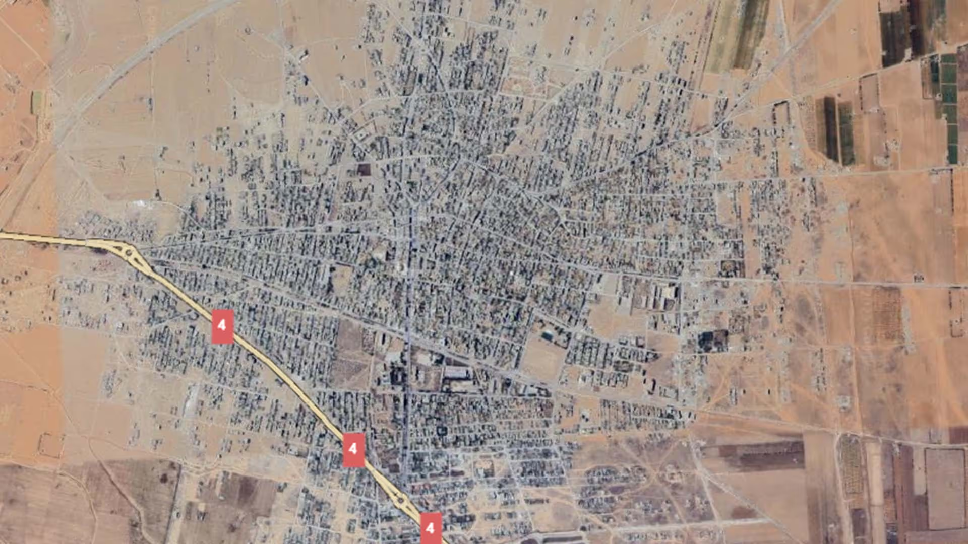
UrbAN-S puts the city's pre-conflict housing stock at approximately 7,357 units. Its October 2019 profile, drawing on satellite damage analysis by the European Commission's Joint Research Centre, found that 14.3 per cent of housing units were severely damaged or destroyed and a further 8.6 per cent sustained moderate damage — roughly 1,676 units in total requiring significant rehabilitation or full rebuilding — while 77 per cent received slight damage or none at all. Damage was unevenly spread: three of the eleven neighbourhoods were assessed as severely damaged, and only two, Ramzun and Bien Al-Sekaten in the south-eastern corner, as lightly damaged.
Service infrastructure was hit harder than the housing stock. An inventory of assets in early 2019 found that 87 per cent of the city's schools had been affected — 13 per cent totally damaged and 73 per cent partially damaged; four of the fifteen schools were unharmed and fully operational, nine partially operational and two non-operational. In health, the National Hospital, a regional facility with a 30-bed capacity, was destroyed, leaving Al-Ahli private hospital, also with 30 beds, as the city's only functioning hospital alongside six operational pharmacies. Municipal capacity thinned as well: the World Bank's Syria Joint Damage Assessment of Selected Cities (December 2022) records Al-Qusayr's refuse collection workforce falling from 80 before the conflict to 62 in 2019. Against a March 2019 resident population estimated at 3,038, UrbAN-S counted approximately 6,307 liveable housing units, and concluded that housing stock was not the binding constraint on return.
Recovery work is documented from the same period. UrbAN-S records the distribution of shelter kits in the city by the Syrian Arab Red Crescent with UNHCR funding, and the rehabilitation of 30 damaged residential units by an international organisation with United Nations funding. Rubble clearance by the local council has been an ongoing process covering inhabited neighbourhoods including Bien Al-Sekaten and the city centre, and UNDP funded rubble clearance operations in 2017. The profile also documents a partially damaged school in the Al-Hay Al-Qabli neighbourhood that has been returned to service as the recipient of government-funded restoration.
.svg)

.png)