.avif)
Find & Read
No items found.

.svg)
Bio
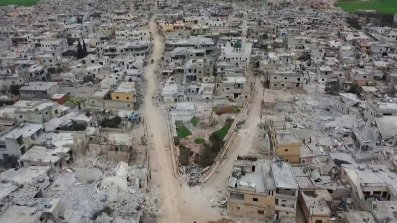
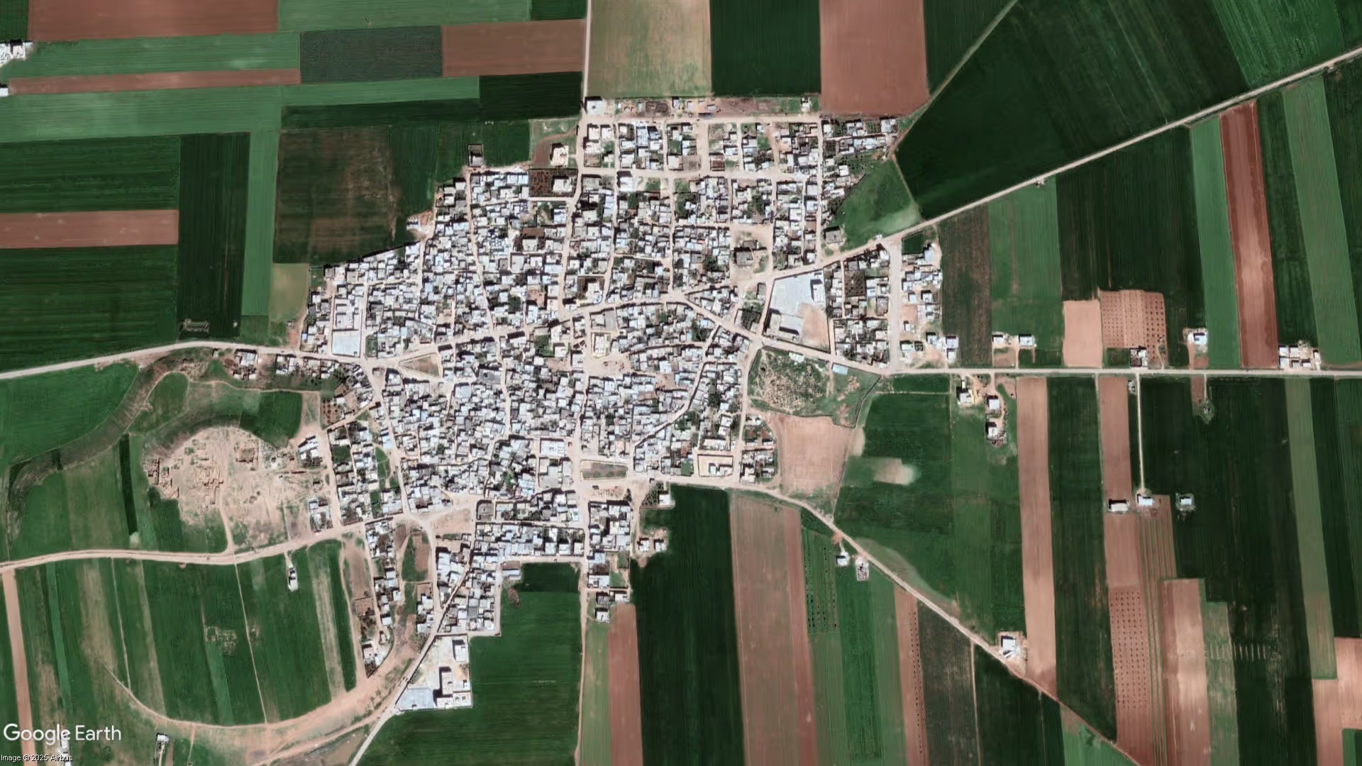
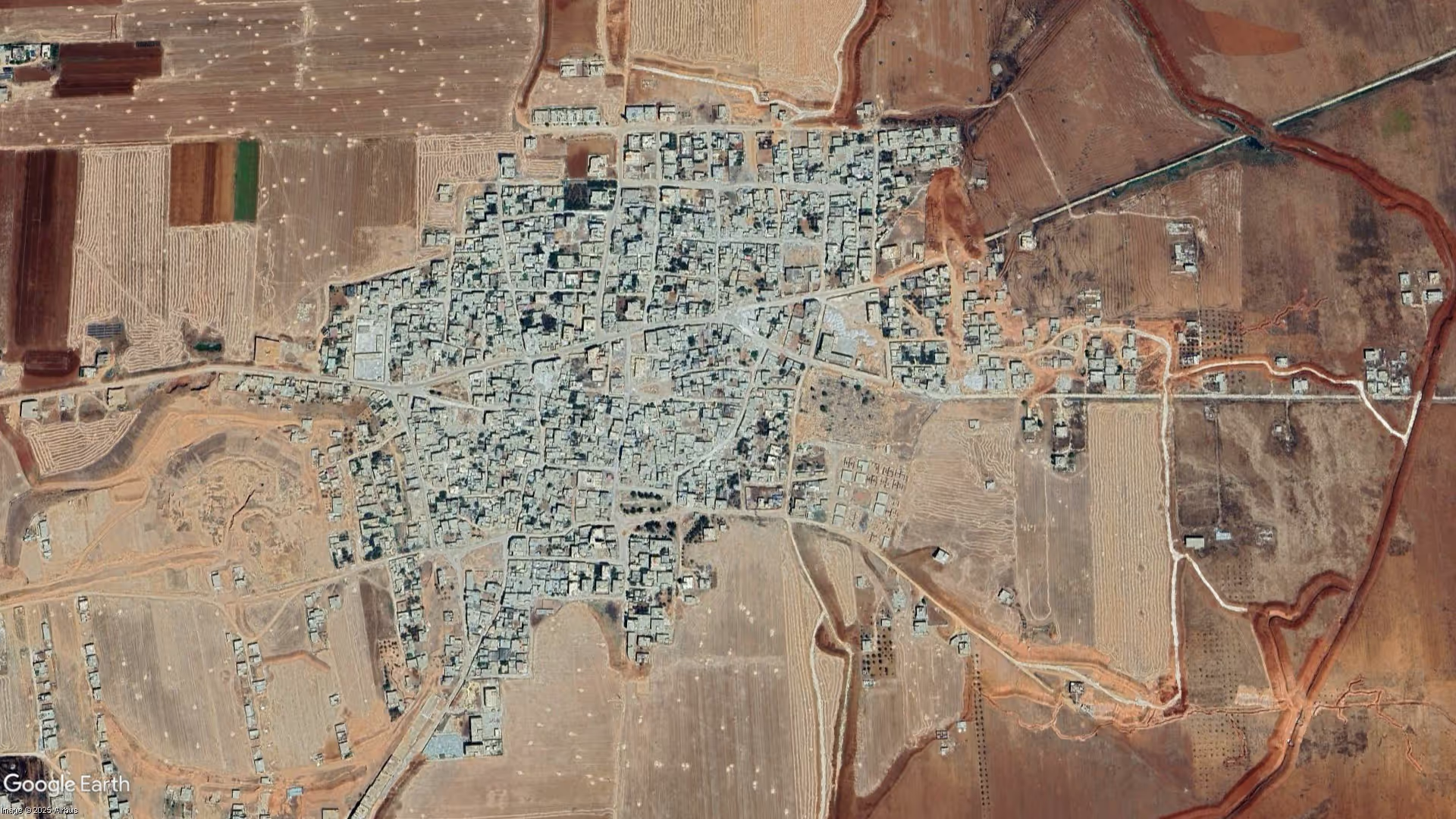
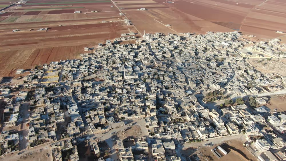
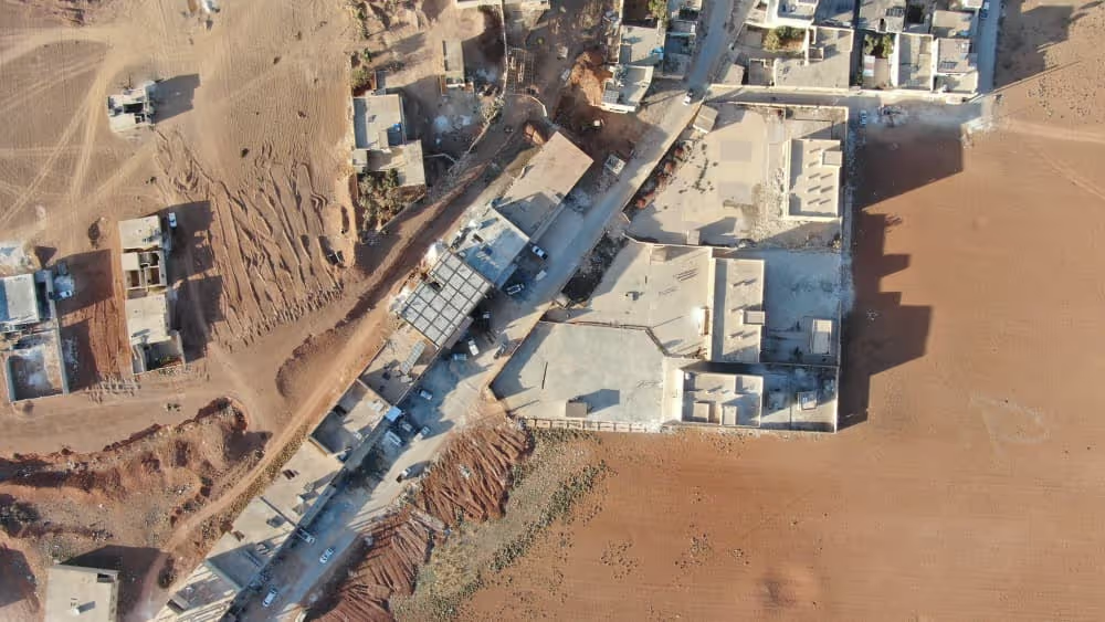
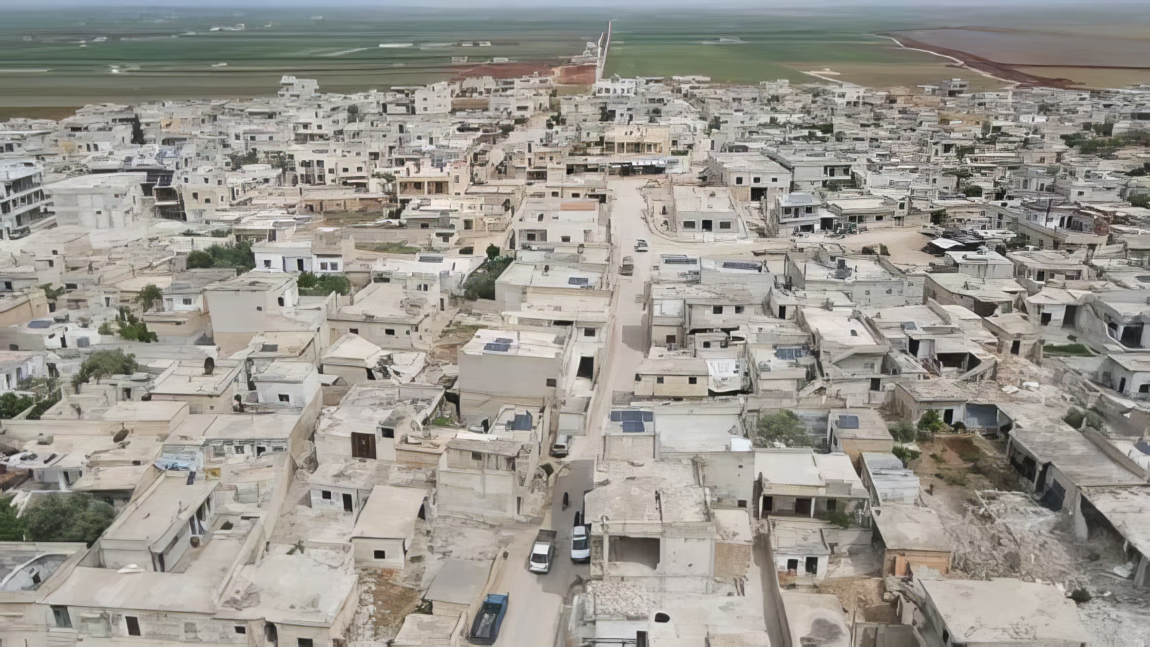
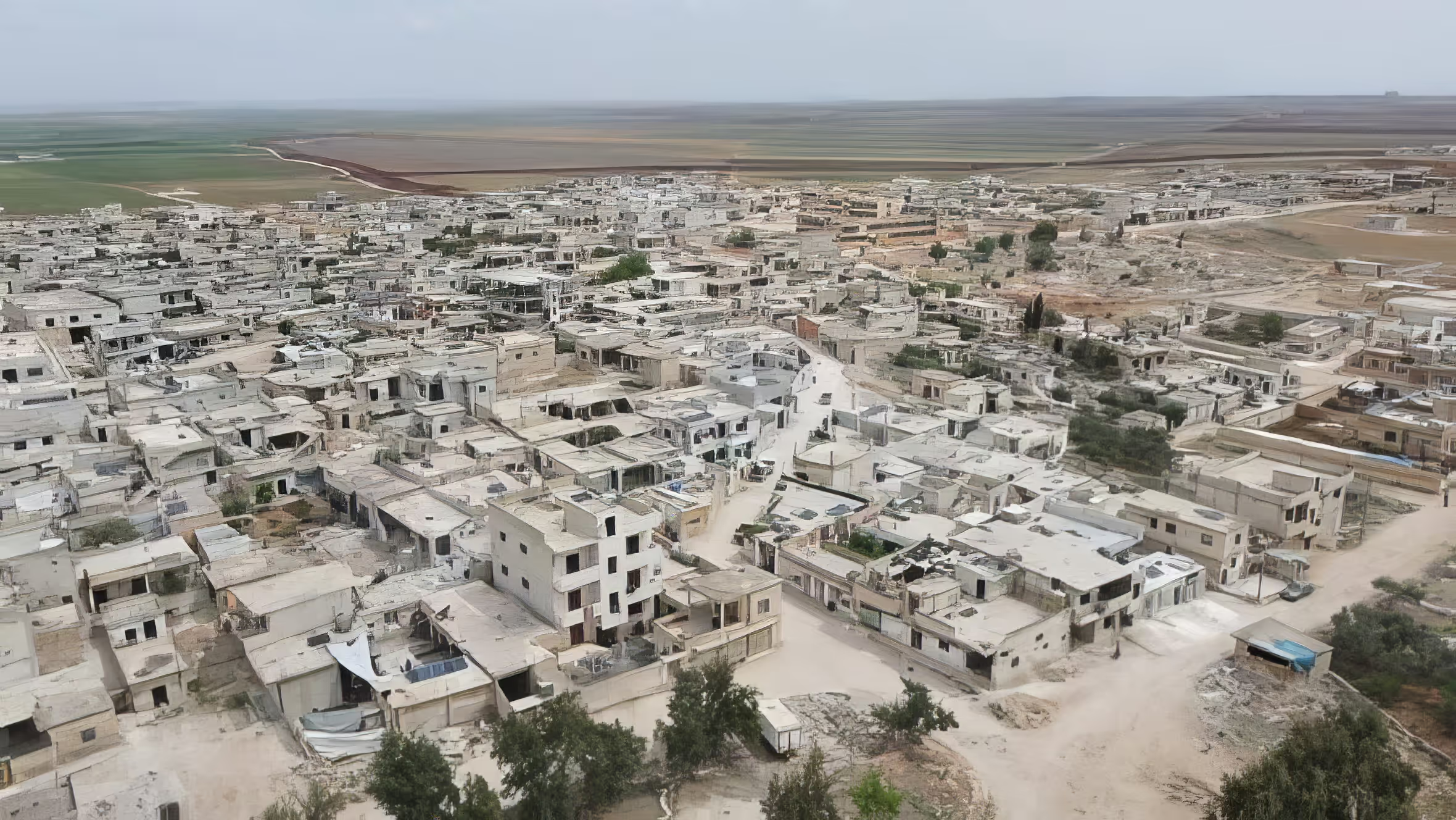
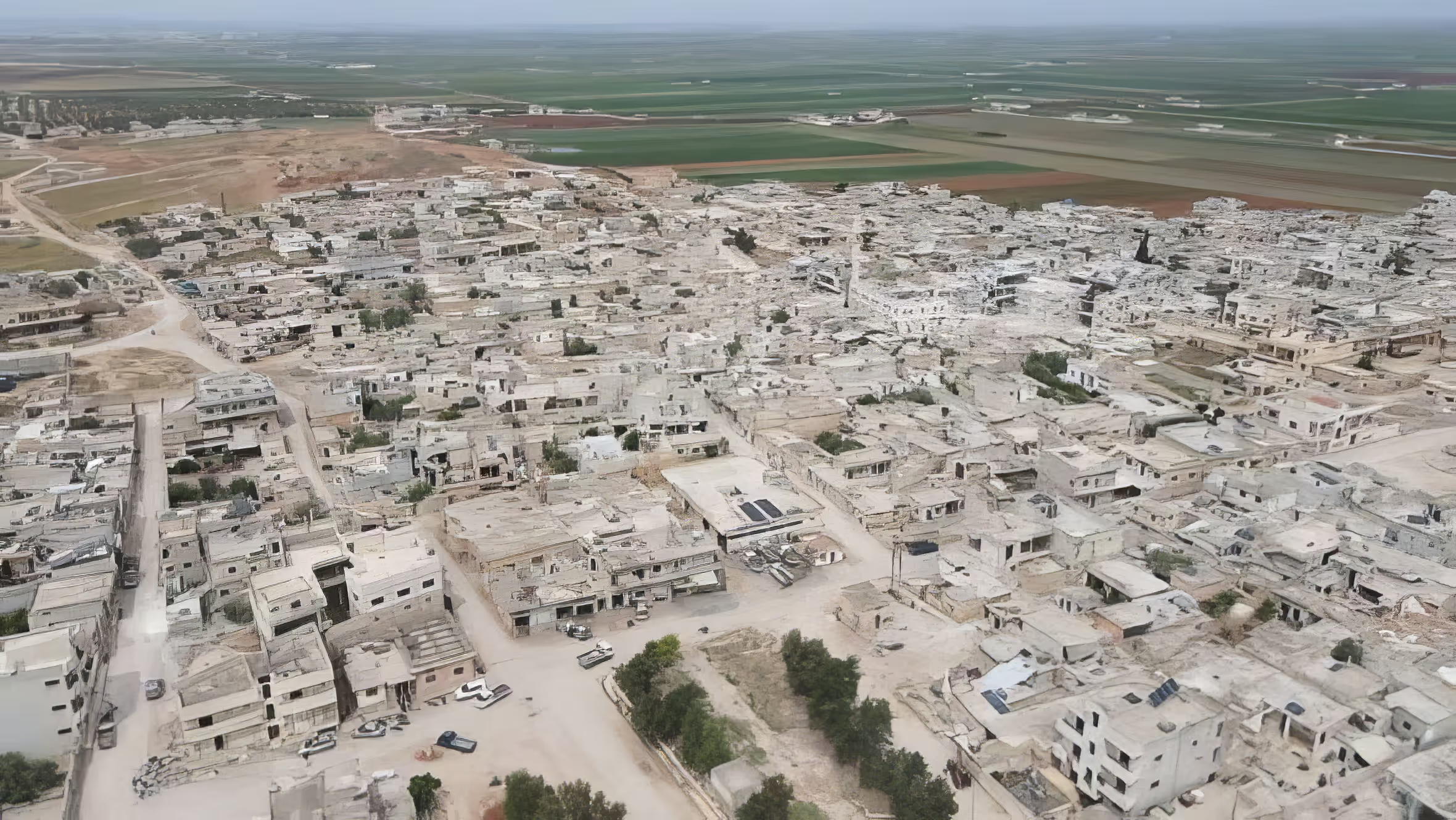
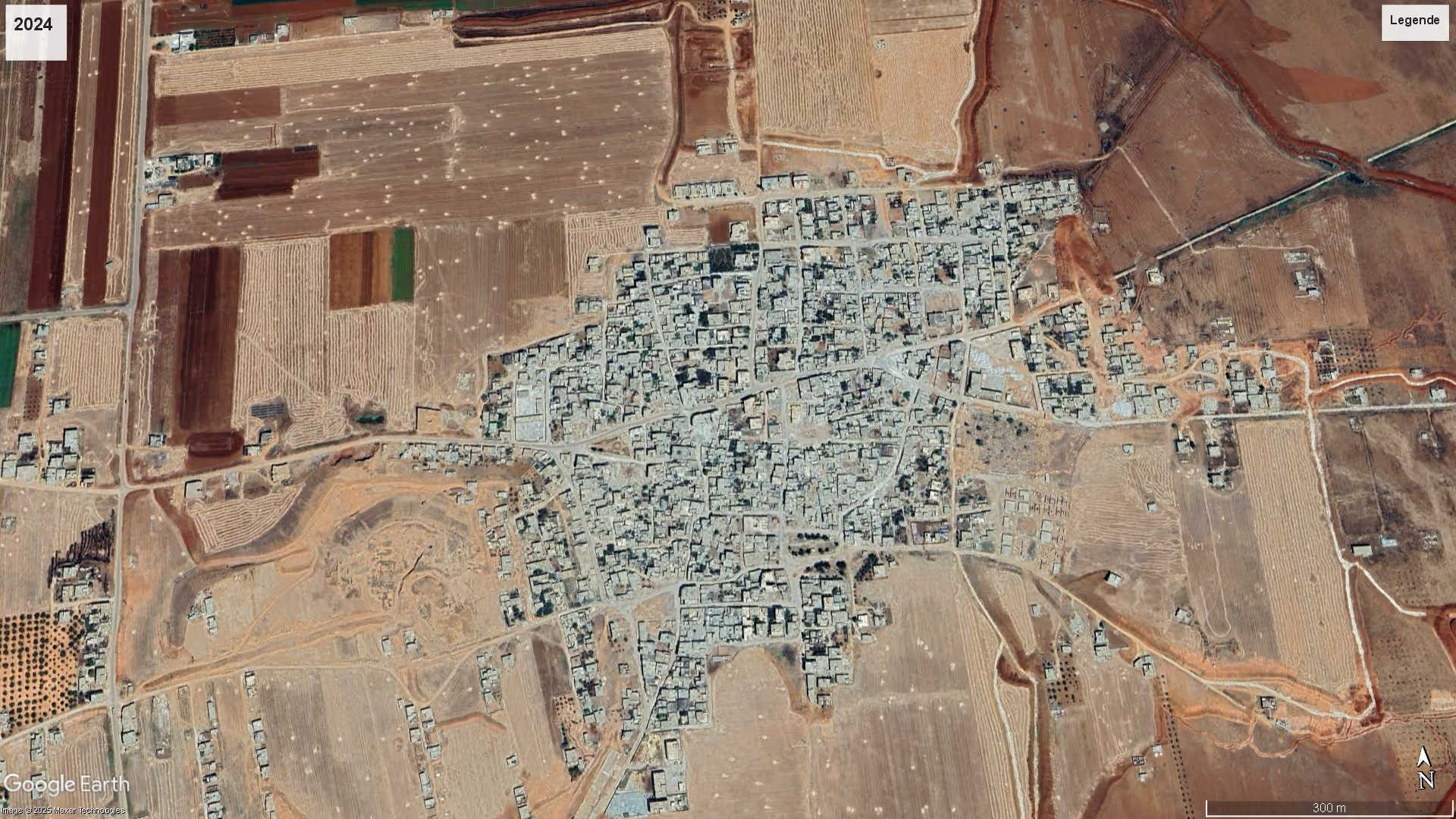
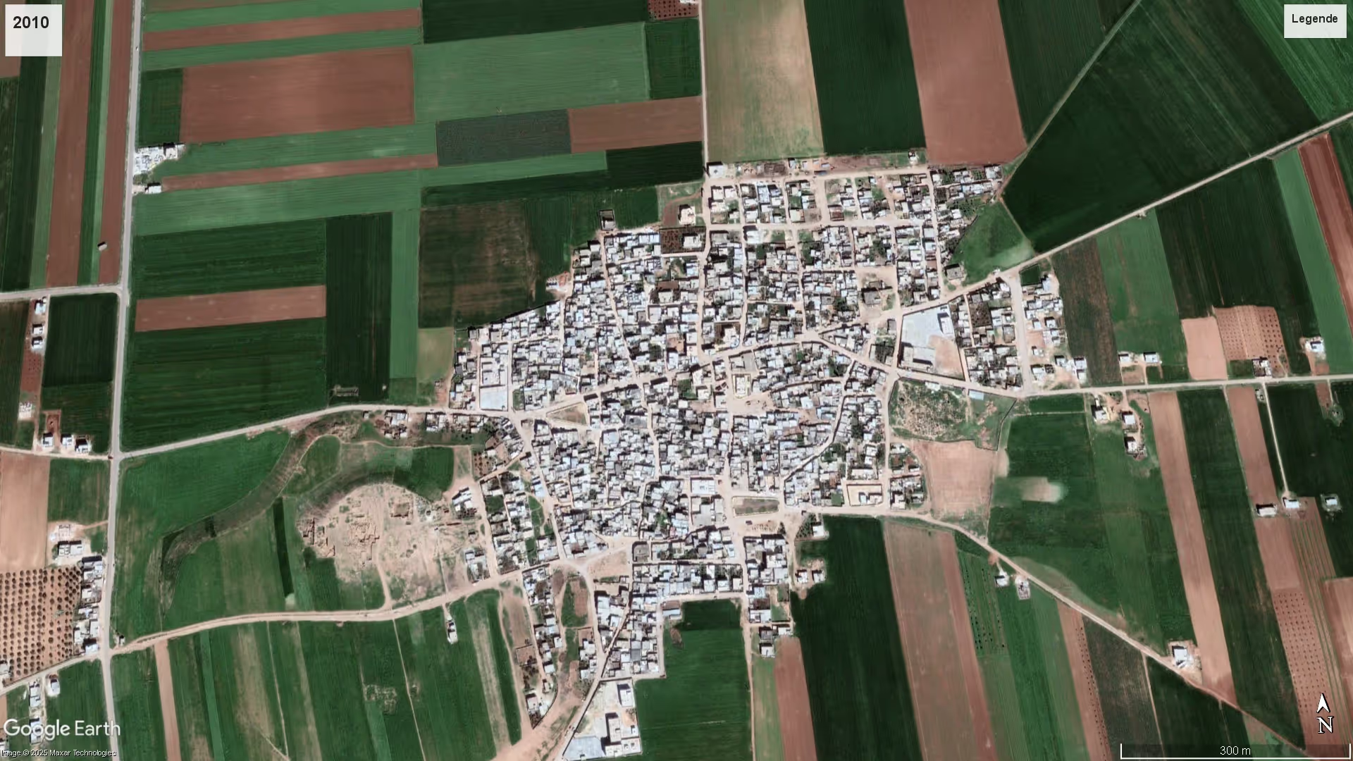
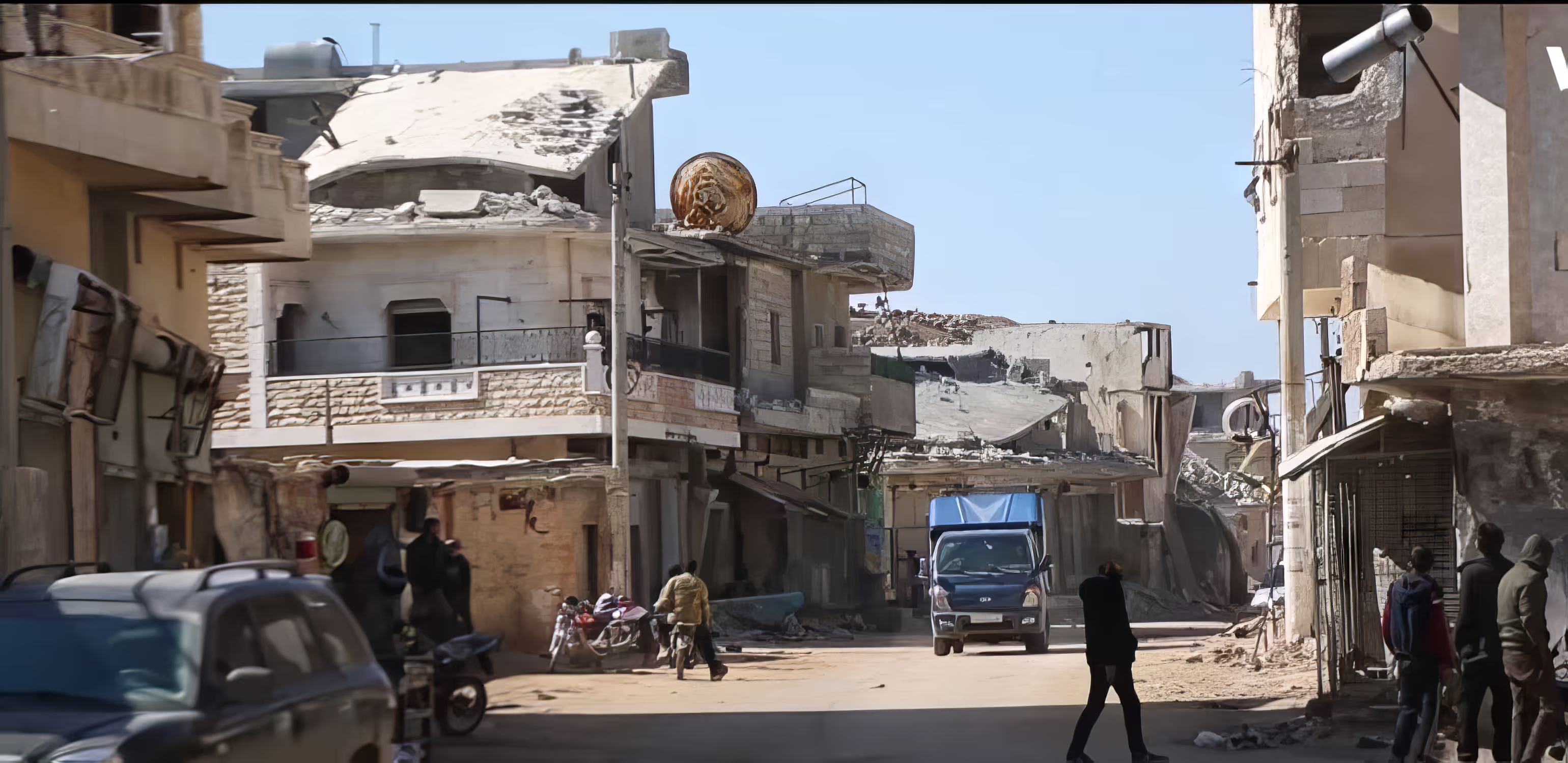
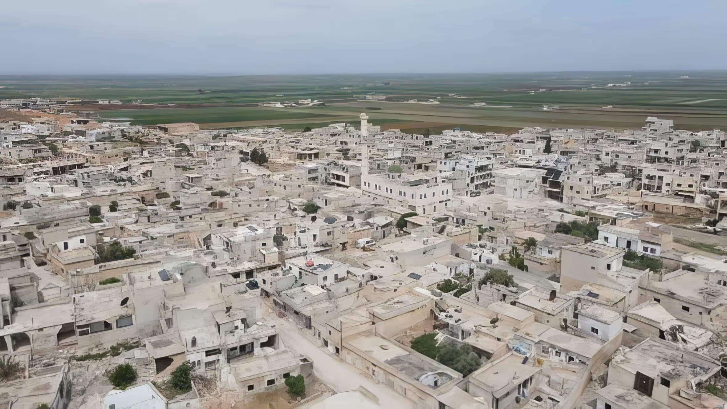
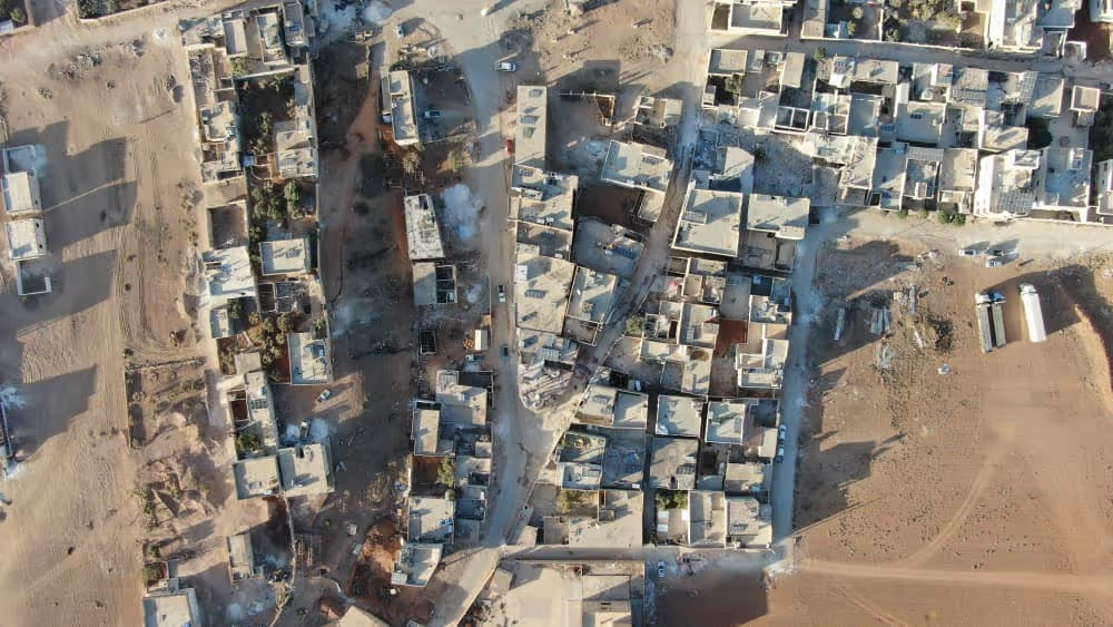
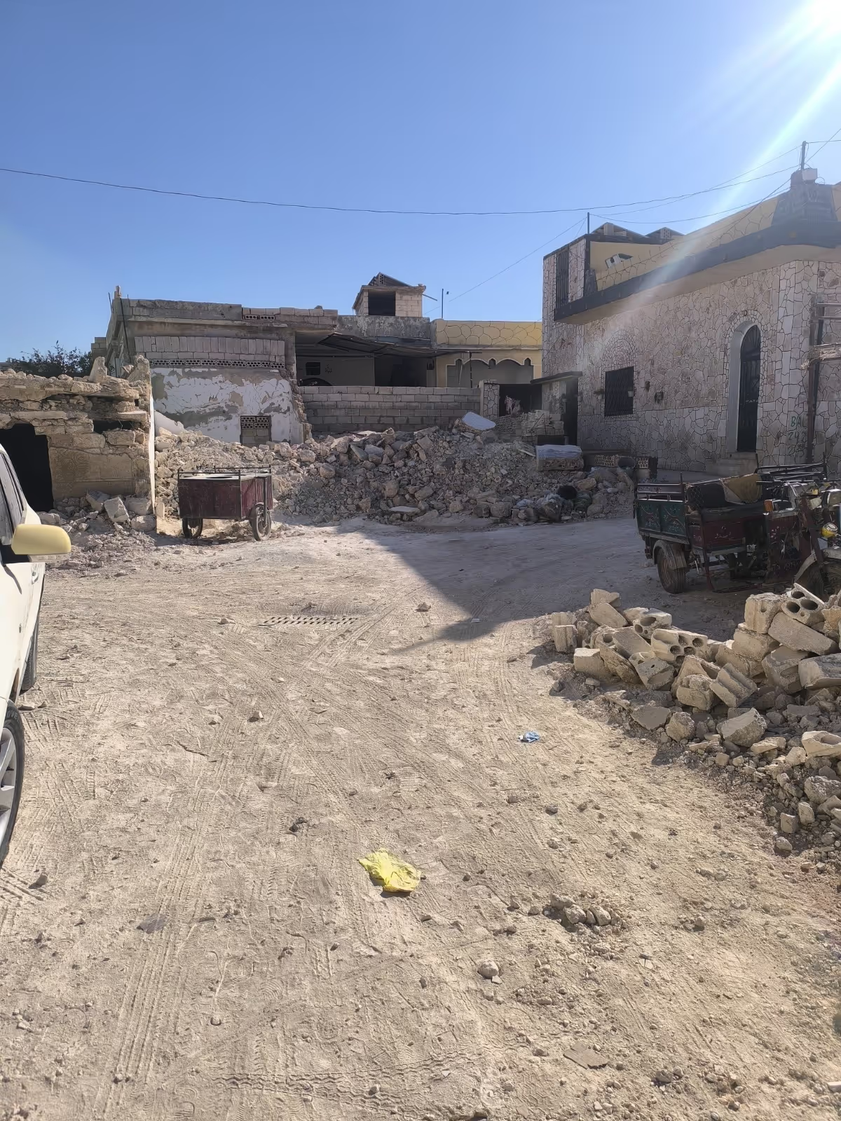
Afes (also written Afs) is a village in the Saraqib subdistrict of Idlib District, in Idlib Governorate, a few kilometres north of the town of Saraqib on the eastern plain of Idlib. The platform's geographic record places it at roughly 35.905°N, 36.799°E. According to the 2004 census of the Syrian Central Bureau of Statistics, the village had a population of 6,338.
Afes belongs to the farming belt that surrounds Saraqib, where olives and wheat are the mainstay crops and where daily life — schooling, work and services — has long been tied to the subdistrict centre rather than to the governorate capital. Its position on the flat, open ground between Saraqib and the eastern countryside made it a small agricultural settlement whose economy rested on land, groves and the road links running through the plain.
Damages
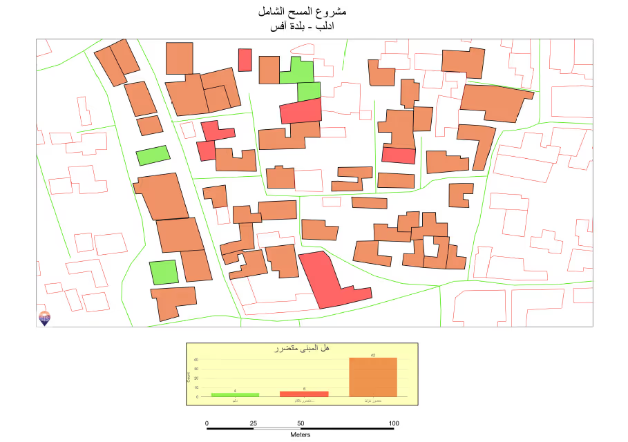
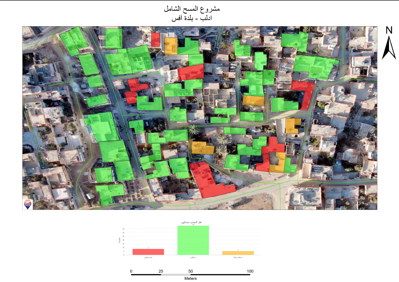
No institutional damage assessment published for Afes itself could be verified. The village-level figures held in the platform's own record — a damage share, a repair cost and a built-up area — carry no traceable publisher and have not been reproduced here.
The nearest published institutional measurement covers a different place and should be read as such. For the city of Idlib, UNOSAT identified a total of 1,267 affected structures using satellite imagery of 1 August 2016, of which approximately 278 were destroyed, 353 severely damaged and 636 moderately damaged; the analysis, published on 6 January 2017, is described by its authors as preliminary and not validated in the field. These counts describe the governorate capital, not Afes.
Documented recovery work specific to Afes could not be verified from institutional sources at the time of writing. Establishing a defensible figure for the village would require a village-level survey — structure counts, network condition and land status — of the kind that exists for larger urban centres in the governorate but not yet for its smaller agricultural settlements.
.svg)

.png)